Opelika in Lee County, Alabama — The American South (East South Central)
Salem Shotwell Covered Bridge
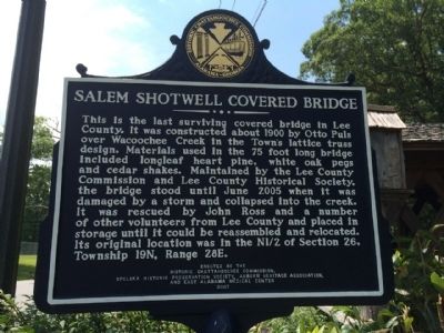
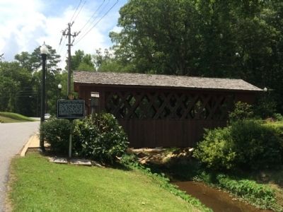
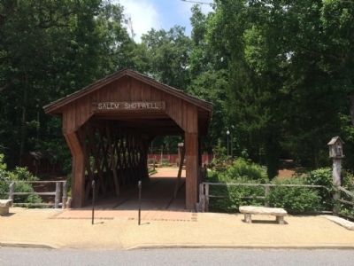
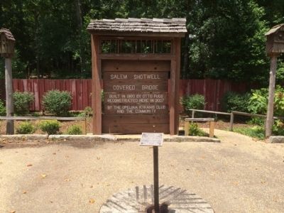
This is the last surviving covered bridge in Lee County. It was constructed about 1900 by Otto Puls over Wacoochee Creek in the Town's lattice truss design. Materials used in the 75 foot long bridge included longleaf heart pine, white oak pegs and cedar shakes. Maintained by the Lee County Commission and Lee County Historical Society, the bridge stood until June 2005 when it was damaged by a storm and collapsed into the creek. It was rescued by John Ross and a number of other volunteers from Lee County and placed in storage until it could be reassembled and relocated. Its original location was in the N1/2 of Section 26, Township 19N, Range 28E.
reverse
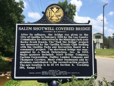
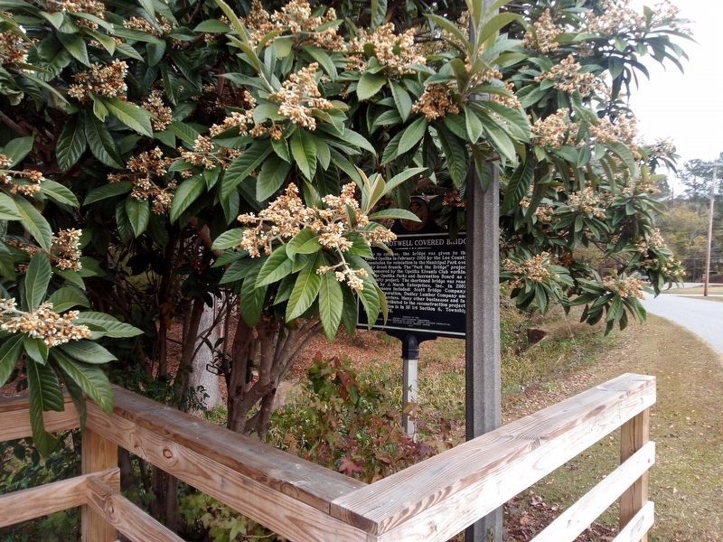
After its collapse, the bridge was given to the City of Opelika in February 2006 by the Lee County Commission for relocation in the Municipal Park over Rocky Brook Branch. The "Park the Bridge" project was sponsored by the Opelika Kiwanis Club working with the Opelika Parks and Recreation Board as a community project. The shortened bridge was reassembled by J. Marsh Enterprises, Inc. in 2007. Major sponsors included: Scott Bridge Company, Castone Corporation, Dudley Lumber Company and Thompson Carriers. Many other businesses and individuals contributed to the reconstruction project. The new location is in SE 1/4 Section 6, Township 19N, Range 27E.
Erected 2007 by the Historic Chattahoochee Commission, Opelika Historic Preservation Society, Auburn Heritage Association, and East Alabama Medical Center.
Topics and series. This historical marker is listed in this topic list: Bridges & Viaducts. In addition, it is included in the Covered Bridges series list. A significant historical month for this entry is February 2006.
Location. 32° 39.556′ N, 85° 22.878′ W. Marker is in Opelika, Alabama, in Lee County. Marker is on Park Road, 0.1 miles west of Rocky Brook Road, on the right when traveling west. Touch for map. Marker is in this post office area: Opelika AL 36801, United States of America. Touch for directions.
Other nearby markers. At least 8 other markers are within walking distance of this marker. Top Rock Millstone (within shouting distance of this marker); Municipal "Monkey" Park (about 600 feet away, measured in a direct line); Lieutenant Colonel Dallas B. Smith (approx. 0.3 miles away); Emmanuel Episcopal Church (approx. 0.7 miles away); Rosseau's Raid to East Alabama (approx. 0.8 miles away); Opelika A Railroad Town/Opelika An Industrial City (approx. 0.8 miles away); First United Methodist Church (approx. 0.8 miles away); South Railroad Avenue (approx. 0.8 miles away). Touch for a list and map of all markers in Opelika.
Also see . . . Wikipedia entry. (Submitted on July 6, 2014, by Mark Hilton of Montgomery, Alabama.)
Credits. This page was last revised on December 2, 2022. It was originally submitted on July 6, 2014, by Mark Hilton of Montgomery, Alabama. This page has been viewed 1,242 times since then and 68 times this year. Last updated on July 12, 2015, by J. Makali Bruton of Accra, Ghana. Photos: 1, 2, 3, 4, 5. submitted on July 6, 2014, by Mark Hilton of Montgomery, Alabama. 6. submitted on November 19, 2022, by James L.Whitman of Eufaula, Alabama.
