Near Statesville in Iredell County, North Carolina — The American South (South Atlantic)
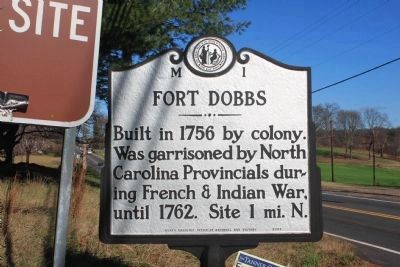
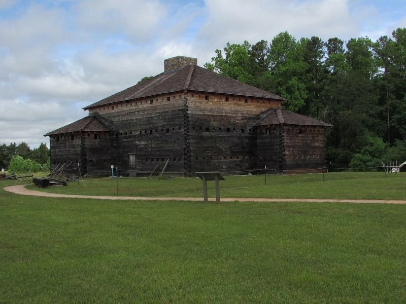
Fort Dobbs
Erected 2007 by North Carolina Office of Archives and History. (Marker Number M-1.)
Topics and series. This historical marker is listed in these topic lists: Forts and Castles • Military • Settlements & Settlers • War, French and Indian. In addition, it is included in the North Carolina Division of Archives and History series list. A significant historical year for this entry is 1756.
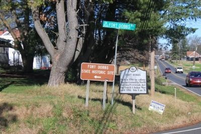
Location. 35° 49.561′ N, 80° 52.507′ W. Marker is near Statesville, North Carolina, in Iredell County. Marker is at the intersection of Turnersburg Highway (U.S. 21) and Fort Dobbs Road, on the right when traveling south on Turnersburg Highway. Touch for map. Marker is in this post office area: Statesville NC 28625, United States of America. Touch for directions.
Other nearby markers. At least 8 other markers are within 3 miles of this marker, measured as the crow flies. Hugh Waddell (approx. 1.3 miles away); Anglo-Cherokee War (1759 - 1761) (approx. 1.3 miles away); The Natural Landscape of Fort Dobbs (approx. 1.3 miles away); Site of Fort Dobbs (approx. 1.3 miles away); Preserving the Past (approx. 1.3 miles away); They found the fire very hot … February 27, 1760 (approx. 1.3 miles away); a different marker also named Site of Fort Dobbs (approx. 1.3 miles away); Iredell County Korea & Vietnam War Memorial (approx. 2.7 miles away). Touch for a list and map of all markers in Statesville.
Credits. This page was last revised on May 30, 2022. It was originally submitted on July 1, 2007, by John Walker Guss of Hillsborough, North Carolina. This page has been viewed 2,467 times since then and 24 times this year. Last updated on July 13, 2015, by J. Makali Bruton of Accra, Ghana. Photos: 1, 2. submitted on December 27, 2011, by Jamie Cox of Melbourne, Florida. 3. submitted on May 27, 2022, by Bill Coughlin of Woodland Park, New Jersey. 4, 5. submitted on July 1, 2007, by John Walker Guss of Hillsborough, North Carolina. 6. submitted on July 2, 2007, by John Walker Guss of Hillsborough, North Carolina. • Bernard Fisher was the editor who published this page.
