Elkmont in Limestone County, Alabama — The American South (East South Central)
Elkmont, Alabama / Tenn. & Ala. Central Railroad
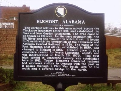
Front
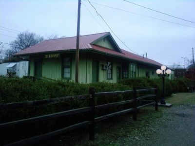
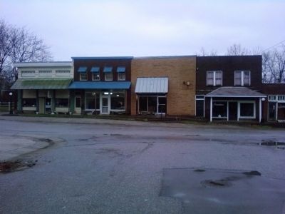
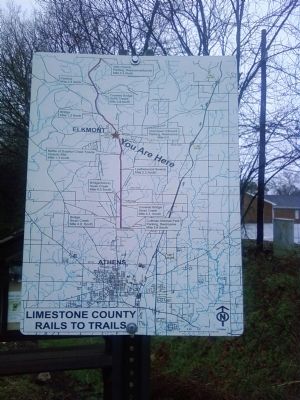
The earliest settlers to this area moved across the Chickasaw boundary before 1810 and established the Sims and New Garden settlements. The area came to be known as Elkmont, for the once abundant elk, the Elk River and the "mount" on which it sat. It began to flourish with the completion of the Tennessee and Alabama Central Railroad in 1859. The name of the Fort Hampton post office, established in 1859, was changed to Elkmont in 1866. Elkmont grew to be a commerce center for North Limestone County and was incorporated on March 28, 1873. The first high school in Limestone County was established here in 1912. Today, Elkmont's converted railroad bed welcomes visitors to connect with the past as it passes through a Civil War battle site to the south and a covered bridge to the north.
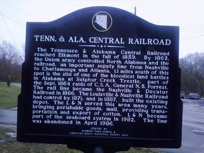
Back
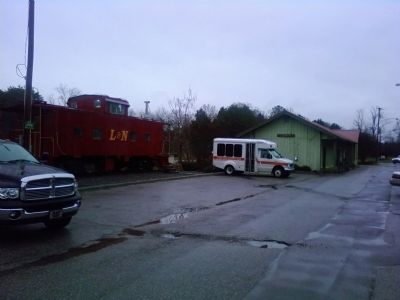
The Tennessee and Alabama Central Railroad reached Elkmont in the fall of 1859. By 1862, the Union army controlled North Alabama and the railroad, an important supply line from Nashville to Chattanooga and Atlanta. 1.1 miles south of this spot is the site of one of the bloodiest land battles in Alabama at Sulphur Creek Trestle, part of the Sept. 1864 raids of C.S.A. General N.B. Forrest. The rail line became the Nashville & Decatur Railroad in 1866. The Louisville & Nashville Railroad had control by 1871, and in 1887, built the existing depot. The L&N served this area many years, bringing perishable goods, mail, providing transportation and export of cotton. L&N became part of the seaboard system in 1982. The line was abandoned in April 1986.
Erected 2005 by Elkmont Town Council & Limestone County Historical Society.
Topics. This historical marker is listed in these topic lists: Railroads & Streetcars • Settlements & Settlers • War, US Civil. A significant historical month for this entry is March 1945.
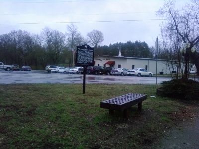
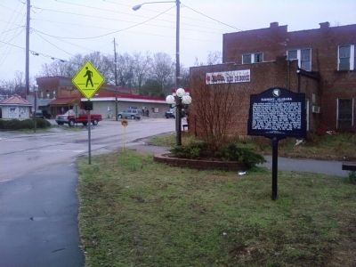
Location. 34° 55.751′ N, 86° 58.398′ W. Marker is in Elkmont, Alabama, in Limestone County. Marker is on County Road 49 east of Railroad Street, on the left when traveling east. Marker is located in a small median/park at the intersection of Co Rd 49 and the Richard Martin Trail (the former railroad bed). Touch for map. Marker is in this post office area: Elkmont AL 35620, United States of America. Touch for directions.
Other nearby markers. At least 8 other markers are within 4 miles of this marker, measured as the crow flies. Limestone County's First High School / The Delmore Brothers (here, next to this marker); Elkmont Pride: Family-School-Church (here, next to this marker); Commerce (here, next to this marker); Downtown Scenes (here, next to this marker); Sulphur Creek Trestle, 1864 (within shouting distance of this marker); Battle of Sulphur Creek Trestle (approx. 1˝ miles away); Old New Garden Cemetery / New Garden Cumberland Presbyterian Church (approx. 1.8 miles away); Pettusville (approx. 3.8 miles away). Touch for a list and map of all markers in Elkmont.
Credits. This page was last revised on September 18, 2018. It was originally submitted on March 11, 2011, by Lee Hattabaugh of Capshaw, Alabama. This page has been viewed 2,462 times since then and 79 times this year. Last updated on July 13, 2015, by J. Makali Bruton of Accra, Ghana. Photos: 1, 2, 3, 4, 5, 6, 7, 8. submitted on March 11, 2011, by Lee Hattabaugh of Capshaw, Alabama. • Bernard Fisher was the editor who published this page.
