Near Upper Tract in Pendleton County, West Virginia — The American South (Appalachia)
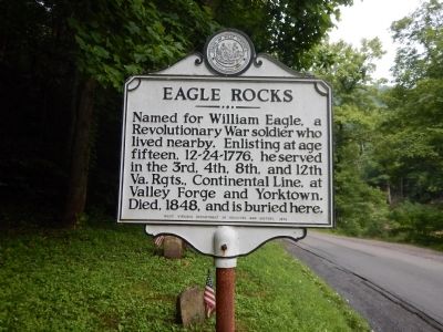
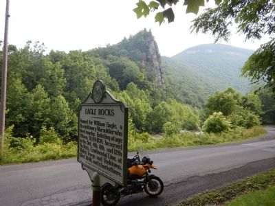
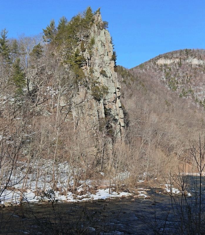
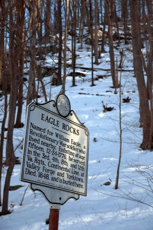
Eagle Rocks
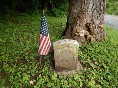
Named for William Eagle, a Revolutionary War soldier who lived nearby. Enlisting at age fifteen, 12-24-1776, he served in the 3rd, 4th, 8th, and 12th Va. Rgts., Continental Line, at Valley Forge and Yorktown. Died, 1848, and is buried here.
Erected 1975 by West Virginia Department of Archives and History.
Topics and series. This historical marker is listed in these topic lists: Cemeteries & Burial Sites • War, US Revolutionary. In addition, it is included in the West Virginia Archives and History series list. A significant historical year for this entry is 1848.
Location. 38° 49.422′ N, 79° 17.588′ W. Marker is near Upper Tract, West Virginia, in Pendleton County. Marker is on Smoke Hole Road (County Route 2) 2.2 miles north of Petersburg Pike (U.S. 220), on the right when traveling south. Marker is located within Seneca Rocks National Recreation Area. Touch for map. Marker is in this post office area: Upper Tract WV 26866, United States of America. Touch for directions.
Other nearby markers. At least 8 other markers are within 5 miles of this marker, measured as the crow flies. Smoke Hole (approx. 1˝ miles away); a different marker also named Smoke Hole (approx. 1.7 miles away); St. George’s Church (approx. 2˝ miles away); Fort Upper Tract (approx. 2.6 miles away); Sites Homestead (approx. 4.4 miles away); A Melting Pot House (approx. 4.4 miles away); 10th Mountain Division (approx. 4.4 miles away); An 1800’s Garden! (approx. 4.4 miles away). Touch for a list and map of all markers in Upper Tract.
Credits. This page was last revised on August 3, 2017. It was originally submitted on July 14, 2015, by Kevin Craft of Bedford, Quebec. This page has been viewed 694 times since then and 47 times this year. Photos: 1, 2, 3, 4. submitted on July 14, 2015, by Kevin Craft of Bedford, Quebec. 5, 6. submitted on November 11, 2016, by J. J. Prats of Powell, Ohio. • Bill Pfingsten was the editor who published this page.
