Sandy in Clackamas County, Oregon — The American West (Northwest)
The Vietnam Monument
Never to be Forgotten
Photographed by Kevin W., June 10, 2008
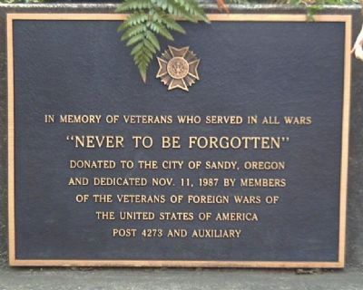
1. The Vietnam Monument Marker
In memory of veterans who served in all wars
Donated to the City of Sandy, Oregon and dedicated on November 11, 1987 by members of the Veterans of Foreign Wars of the United States of America Post 4273 and Auxiliary
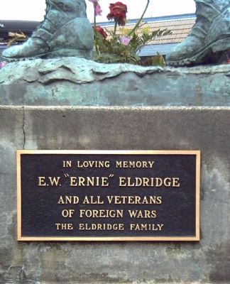
[Marker on reverse of Monument]:
In loving memory
E. W. "Ernie" Eldridge
and all veterans of foreign wars
The Eldridge Family
Erected 1987 by Veterans of Foreign Wars Post 4273 and Auxiliary.
Topics. This historical marker and monument is listed in this topic list: War, Vietnam. A significant historical date for this entry is November 11, 1987.
Location. 45° 23.767′ N, 122° 15.577′ W. Marker is in Sandy, Oregon, in Clackamas County. It is at the intersection of Woodburn-Sandy Highway/Meinig Avenue (State Highway 211) and Mount Hood Highway/Pioneer Boulevard (U.S. 26), on the right when traveling north on Woodburn-Sandy Highway/Meinig Avenue. Touch for map. Marker is at or near this postal address: 17998 Meinig Ave, Sandy OR 97055, United States of America. Touch for directions.

Regionally, this marker and monument is in the Willamette Valley and in Greater
this page online
Other nearby markers. At least 8 other markers are within 10 miles of this marker, measured as the crow flies: Harold E. Babcock (approx. 8.4 miles away); Corbett (approx. 9½ miles away); Samuel Hill – “Road Builder” (approx. 9½ miles away); Chanticleer Point (approx. 9½ miles away); a different marker also named Chanticleer Point (approx. 9.6 miles away); Historic Viola School (approx. 9.8 miles away); Vista House (approx. 9.9 miles away); Marshall N. Dana (approx. 9.9 miles away).
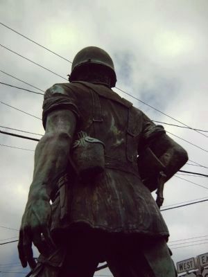
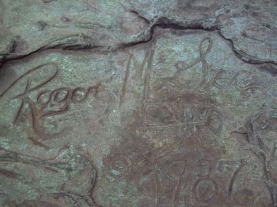
More about this marker. The artwork is by Roger McGee of Enterprise, Oregon. Sculpted first in clay, cast and sited in 1987 in Sandy, Oregon adjacent to Meinig Memorial Park (home of the annual Sandy Mountain Festival) and a fairly good donut shop.
Also see . . . VFW Monument - Sandy, Oregon. The 7' 6" Vietnam era soldier, complete with worn
Photographed by Kevin W., June 10, 2008
2. The Vietnam Monument Marker (Reverse)
Photographed by Kevin W., June 10, 2008
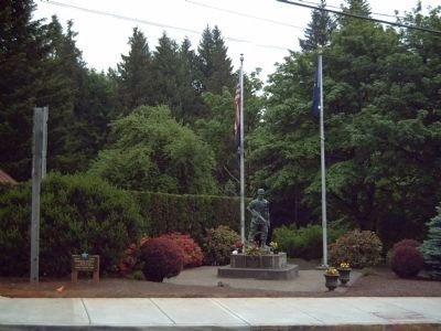
3. The Vietnam Monument and Marker
Photographed by Kevin W., June 10, 2008
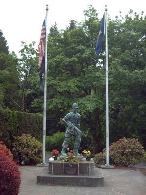
4. The Vietnam Monument and Marker
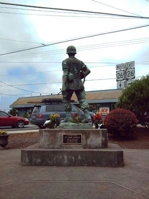
Photographed by Kevin W., June 10, 2008
5. The Vietnam Monument and Marker (reverse)
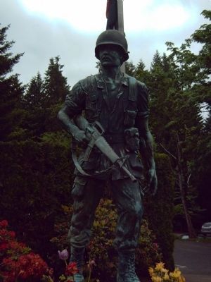
Photographed by Kevin W., June 10, 2008
6. The Vietnam Monument
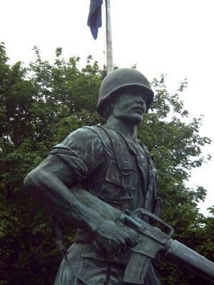
Photographed by Kevin W., June 10, 2008
7. The Vietnam Monument
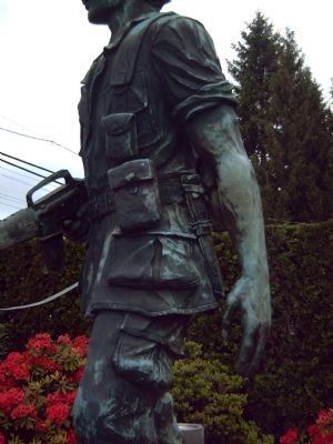
Photographed by Kevin W., June 10, 2008
8. The Vietnam Monument
Photographed by Kevin W., June 10, 2008
9. The Vietnam Monument
Photographed by Kevin W., June 10, 2008
10. Sculptor's Signature
Photographed by Kevin W., June 10, 2008
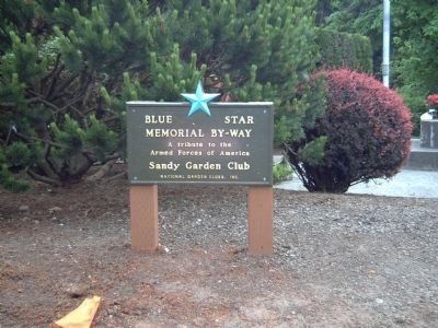
11. Nearby Blue Star Memorial Highway Marker
Credits. This page was last revised on September 27, 2024. It was originally submitted on June 27, 2008, by Kevin W. of Stafford, Virginia. This page has been viewed 2,238 times since then and 52 times this year. Photos: 1, 2, 3, 4, 5, 6, 7, 8, 9, 10, 11. submitted on June 27, 2008, by Kevin W. of Stafford, Virginia.
