Cobh in County Cork, Munster, Ireland — Irish South-West ((Éire) North Atlantic Ocean)
Old Church Cemetery
Titanic Trail
| — | Lusitania Victims Mass Graves | — |
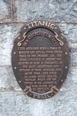
Photographed by Brandon Fletcher, June 11, 2015
1. Old Church Cemetery Marker
Topics. This historical marker is listed in these topic lists: Disasters • War, World I.
Location. 51° 51.78′ N, 8° 17.914′ W. Marker is in Cobh, Munster, in County Cork. It can be reached from the intersection of Hilltop Park and Tay Road. Touch for map. Touch for directions.

Regionally, it is on the Atlantic Ocean, in the North Atlantic Region, on the Atlantic Arc, in Europe, on the Island of Ireland, on the Celtic Fringe, in the European Union, in Atlantic Europe, on one of the British Isles, in the Western World, and in the Anglosphere.
Other nearby markers. At least 8 other markers are within walking distance of this marker: United States Naval Headquarters (approx. 1.2 kilometers away); Rob Roy Hotel (approx. 1.4 kilometers away); James Connolly (approx. 1.4 kilometers away); Cóbh / Cobh (approx. 1.4 kilometers away); RMS Mauretania (approx. 1.4 kilometers away); S.S. Lusitania (approx. 1.4 kilometers away); John Hennessy (approx. 1.4 kilometers away); Lusitania Peace Memorial (approx. 1.4 kilometers away). Touch for a list and map of all markers in Cobh.
Additional keywords. Lusitania Victims
this page online
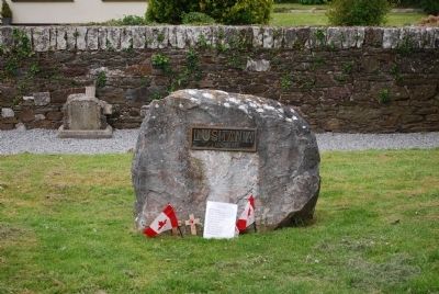
Photographed by Brandon Fletcher, June 11, 2015
2. Lusitania Victims Mass Grave Marker
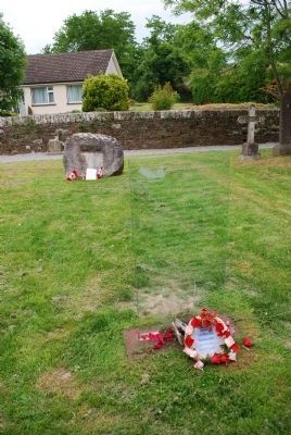
Photographed by Brandon Fletcher, June 11, 2015
3. Lusitania Victims Mass Grave C Marker
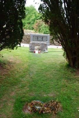
Photographed by Brandon Fletcher, June 11, 2015
4. Lusitania Victims Mass Grave B Marker
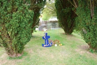
Photographed by Brandon Fletcher, June 11, 2015
5. Lusitania Victims Mass Grave A Marker
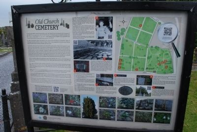
Photographed by Brandon Fletcher, June 11, 2015
6. Old Church Cemetery Marker
Information related to the burials in the cemetery
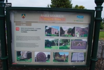
Photographed by Brandon Fletcher, June 11, 2015
7. Old Church Cemetery Marker
Information about the history of the cemetery and famous grave locations.
Credits. This page was last revised on June 16, 2016. It was originally submitted on July 20, 2015, by Brandon Fletcher of Chattanooga, Tennessee. This page has been viewed 556 times since then and 26 times this year. Photos: 1, 2, 3, 4, 5, 6, 7. submitted on July 20, 2015, by Brandon Fletcher of Chattanooga, Tennessee. • Andrew Ruppenstein was the editor who published this page.
