Eunice in St. Landry Parish, Louisiana — The American South (West South Central)
City Of Eunice
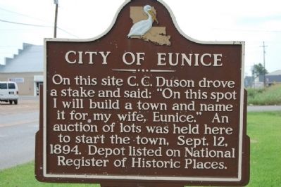
Photographed by Cajun Scrambler, October 20, 2005
1. City Of Eunice Marker
Topics. This historical marker is listed in this topic list: Settlements & Settlers. A significant historical month for this entry is September 1235.
Location. 30° 29.589′ N, 92° 24.906′ W. Marker is in Eunice, Louisiana, in St. Landry Parish. It is on South CC Duson Street (State Highway 13) south of North Street, on the left when traveling south. Touch for map. Marker is at or near this postal address: 220 S CC Duson St, Eunice LA 70535, United States of America. Touch for directions.

Regionally, this marker is in Acadiana — Cajun Country. It is also in the American South and specifically in the Deep South. Globally, it is in North America, a Gulf of Mexico state, the Western Hemisphere, the Western World, and the Anglosphere. Historically, it finds itself in what was once New Spain, Acadia, the territory of the Mississippian Culture, the Louisiana Purchase, one of the Confederate
this page online
Other nearby markers. At least 8 other markers are within 16 miles of this marker, measured as the crow flies: Dennis McGee (about 700 feet away, measured in a direct line); Johnson's Grocery (approx. 0.6 miles away); Acadia Baptist Acadamy (approx. 7.2 miles away); Fred's Lounge (approx. 9½ miles away); Le Parc Du Vieux Dépôt (approx. 13.3 miles away); Iry LeJeune (approx. 13.3 miles away); Le Vieux Presbytère (approx. 13.3 miles away); Vietnam Veterans Memorial (approx. 15.8 miles away). Touch for a list and map of all markers in Eunice.
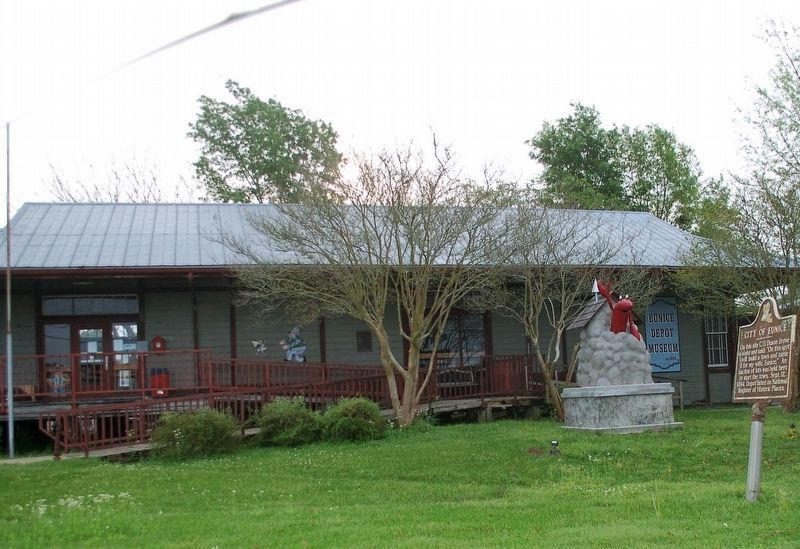
Photographed by Cajun Scrambler, March 19, 2020
2. City Of Eunice Marker
Marker in front of Eunice Depot Museum.
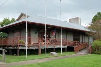
October 20, 2005
3. Eunice Depot Museum
Credits. This page was last revised on June 2, 2023. It was originally submitted on July 20, 2015. This page has been viewed 982 times since then and 49 times this year. Photos: 1. submitted on July 20, 2015. 2. submitted on March 27, 2020, by Cajun Scrambler of Assumption, Louisiana. 3. submitted on July 20, 2015. • Bernard Fisher was the editor who published this page.
