
Bardon Mill in Northumberland, England, United Kingdom — Northwestern Europe (the British Isles)
Hadrian's Wall
Frontiers of the Roman Empire World Heritage Site
Photographed by Brandon Fletcher, June 3, 2013
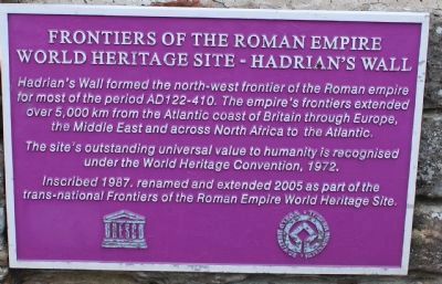
1. Frontiers of the Roman Empire Marker
Hadrian's Wall formed the north-west frontier of the Roman empire for most of the period AD 122-410. The empire's frontiers extended over 5,000 km from the Atlantic coast of Britain through Europe, the Middle East and across North Africa to the Atlantic.
The site's outstanding universal value to humanity is recognised under the World Heritage Convention, 1972.
Inscribed 1987. Renamed and extended 2005 as part of the trans-national Frontiers of the Roman Empire World Heritage Site.
Erected by World Heritage Convention.
Topics and series. This historical marker is listed in these topic lists: Forts and Castles • Landmarks • Settlements & Settlers. In addition, it is included in the UNESCO World Heritage Sites series list. A significant historical year for this entry is 1972.
Location. 55° 0.732′ N, 2° 19.894′ W. Marker is in Bardon Mill, England, in Northumberland. It can be reached from no nearby street. To reach the marker, tickets will need to be purchased at the Housesteads Roman Fort Visitor Centre off of B6318 Road. Coordinates: 55.009825, -2.324069. Then follow the footpath to the top of the hill
this page online

Regionally, this marker is in North East England. It is also in British Border Reivers Country. Globally, it is on the Atlantic Ocean, in the North Atlantic Region, in Europe, in Atlantic Europe, on one of the British Isles, in the Western World, and in the Anglosphere. Historically, it finds itself in what was once the Roman Empire.
Other nearby markers. At least 8 other markers are within walking distance of this marker: Mediterranean Style in Northern Climes (about 120 meters away, measured in a direct line); The Vicus (about 120 meters away); The Fort and its Design (about 150 meters away); 16th Century Bastle House (about 150 meters away); The Heart of the Fort (about 150 meters away); The Comanding Officer and his House (about 150 meters away); The Wall Arrives (about 180 meters away); Where the Soldiers Lived (about 210 meters away).
Also see . . .
1. Housesteads Roman Fort - Hadrian's Wall - English Heritage.
Photographed by Brandon Fletcher, June 3, 2013
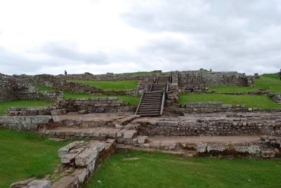
2. Housesteads Roman Fort looking North
2. Housesteads Roman Fort Directions. (Submitted on July 23, 2015, by Brandon Fletcher of Chattanooga, Tennessee.)
3. Hadrian's Wall Country. (Submitted on July 23, 2015, by Brandon Fletcher of Chattanooga, Tennessee.)
4. Hadrian's Wall Path- National Trails. (Submitted on July 23, 2015, by Brandon Fletcher of Chattanooga, Tennessee.)
Additional keywords. Housesteads Roman Fort on Hadrian's Wall
Photographed by Brandon Fletcher, June 3, 2013
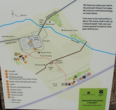
3. Housesteads Roman Fort Map
Photographed by Brandon Fletcher, June 3, 2013
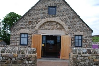
4. Frontiers of the Roman Empire Marker
Marker is located at the entrance to the museum, just to the right.
Photographed by Brandon Fletcher, June 3, 2013
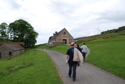
5. Frontiers of the Roman Empire Marker
Path leading up to the museum
Photographed by Brandon Fletcher, June 3, 2013
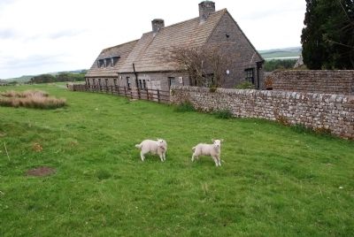
6. Frontiers of the Roman Empire Marker
Backside of the museum
Photographed by Brandon Fletcher, June 3, 2013
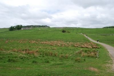
7. Frontiers of the Roman Empire Marker
Footpath from the visitors center to the museum. Museum can be seen to the left. Housesteads Roman Fort is located to the right of the museum.
Photographed by Brandon Fletcher, June 3, 2013
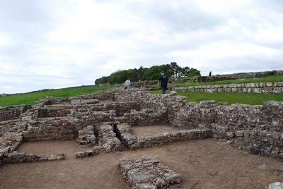
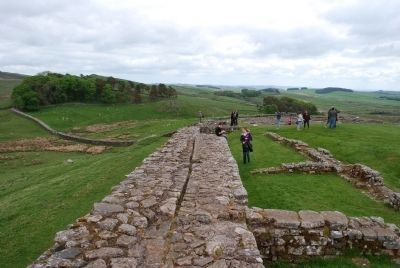
8. Housesteads Roman Fort
Inside the remains of Housesteads Roman Fort
Photographed by Brandon Fletcher, June 3, 2013
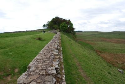
9. Hadrian's Wall to the East
Hadrian's Wall as it runs eastward- Housteads Roman Fort butts up against the wall at this location
Photographed by Brandon Fletcher, June 3, 2013
10. Hadrian's Wall to the West
Hadrian's Wall as it runs to the west from Houseteads Roman Fort
Photographed by Brandon Fletcher, June 3, 2013
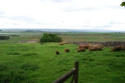
11. Hadrian's Wall looking South over the museum
Looking south from Hadrian's Wall, the top of the museum, where the marker is located, can be seen.
Photographed by Brandon Fletcher, June 3, 2013
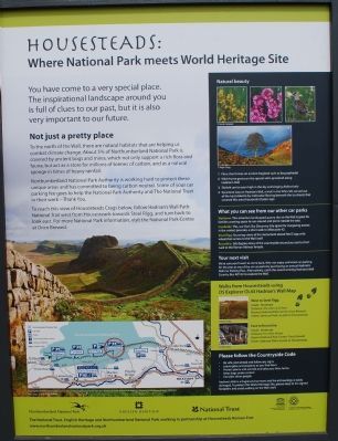
12. Housteads Roman Fort Visitor Centre sign
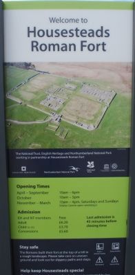
Photographed by Brandon Fletcher, June 3, 2013
13. Housesteads Roman Center Visitor Centre Sign
Photographed by Brandon Fletcher, June 3, 2013
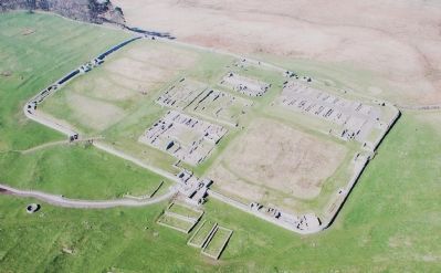
14. Housteads Roman Fort Aerial View Sign
Photographed by Brandon Fletcher, June 3, 2013
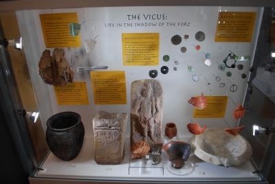
15. Museum Artifacts from the Fort #1
Photographed by Brandon Fletcher, June 3, 2013
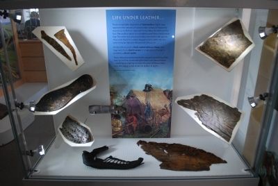
16. Museum Artifacts from the Fort #2
Photographed by Brandon Fletcher, June 3, 2013
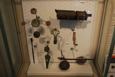
17. Museum Artifacts from the Fort #3
Photographed by Brandon Fletcher, June 3, 2013
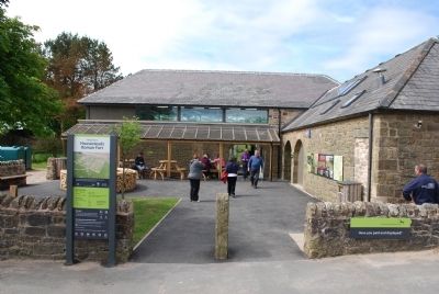
18. Housesteads Roman Fort Visitor Centre
Credits. This page was last revised on June 22, 2026. It was originally submitted on July 23, 2015, by Brandon Fletcher of Chattanooga, Tennessee. This page has been viewed 657 times since then and 41 times this year. Photos: 1, 2, 3, 4, 5, 6, 7, 8, 9, 10, 11, 12, 13, 14, 15, 16, 17, 18. submitted on July 23, 2015, by Brandon Fletcher of Chattanooga, Tennessee. • Andrew Ruppenstein was the editor who published this page.
