Bayou St. John in New Orleans in Orleans Parish, Louisiana — The American South (West South Central)
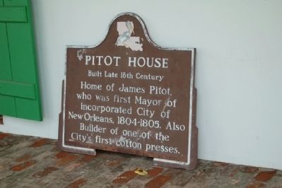
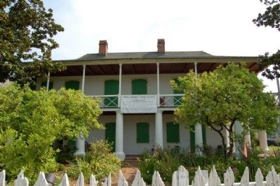
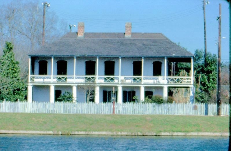
Pitot House
Built Late 18th Century
Topics. This historical marker is listed in this topic list: Settlements & Settlers.
Location. 29° 58.906′ N, 90° 5.361′ W. Marker is in New Orleans, Louisiana, in Orleans Parish. It is in Bayou St. John. Marker is on Moss Street, 0.2 miles south of Esplanade Avenue, on the left when traveling north. Touch for map. Marker is at or near this postal address: 1440 Moss Street, New Orleans LA 70119, United States of America. Touch for directions.
Other nearby markers. At least 8 other markers are within walking distance of this marker. In Memory of All American Veterans (about 600 feet away, measured in a direct line); The Croatian Benevolent Association of Louisiana (about 700 feet away); Our Lady of the Rosary Rectory (about 700 feet away); Metairie And Gentilly Ridges (about 700 feet away); Allard Plantation (approx. 0.2 miles away); The Old Portage (approx. ¼ mile away); Duelling Grounds (approx. half a mile away); Fair Grounds Race Course (approx. ¾ mile away). Touch for a list and map of all markers in New Orleans.
Also see . . . Pitot House Museum and Gardens. Louisiana Landmarks Society (Submitted on July 24, 2015.)

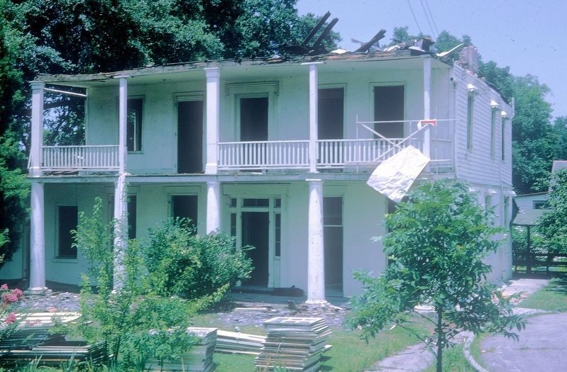
Photographed By David Seibert, circa 1964
4. The Ducayet House
The Pitot House originally stood about 100 feet south of its present location on Bayou St. John, adjoining church property. The church intended to tear the Pitot House down, but a swap was arranged. The Ducayet House (at one time the Ducayet family owned both properties) was torn down, shown in this photo, and the Pitot House moved onto a new foundation at this location and restored. The church was able to expand into the old site of the Pitot House.
Credits. This page was last revised on March 1, 2024. It was originally submitted on July 24, 2015. This page has been viewed 502 times since then and 40 times this year. Photos: 1, 2. submitted on July 24, 2015. 3, 4. submitted on September 15, 2017, by David Seibert of Sandy Springs, Georgia. • Bernard Fisher was the editor who published this page.


