Near Oswego in Oswego County, New York — The American Northeast (Mid-Atlantic)
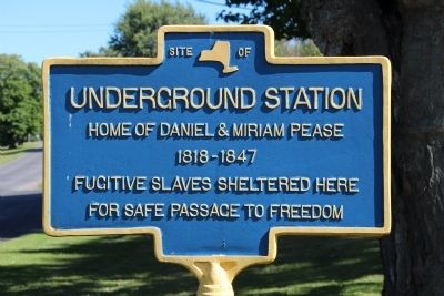
Underground Station
Underground Station
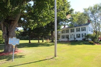
Home of Daniel & Miriam Pease
1818-1847
Fugitive Slaves Sheltered Here
For Safe Passage to Freedom
Topics. This historical marker is listed in these topic lists: Abolition & Underground RR • African Americans.
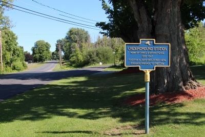
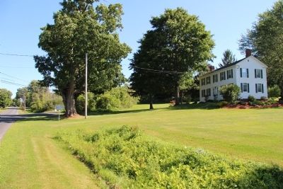
Location. 43° 25.602′ N, 76° 33.276′ W. Marker is near Oswego, New York, in Oswego County. Marker is on Cemetery Road north of Bunker Hill Road, on the right when traveling south. This marker is located southwest of Oswego, in the rural countryside, a short distance south of State Route 104. Touch for map. Marker is at or near this postal address: 261 Cemetery Road, Oswego NY 13126, United States of America. Touch for directions.
Other nearby markers. At least 8 other markers are within 3 miles of this marker, measured as the crow flies. Rural Cemetery (about 800 feet away, measured in a direct line); Mary E Walker (approx. 0.3 miles away); Asa Rice (approx. ¾ mile away); Birthplace Dr. Mary Edwards Walker (approx. 1.6 miles away); Dr. Mary Walker (approx. 2 miles away); Fort George (approx. 2.9 miles away); Open Water = Winter Birds (approx. 3 miles away); Oswego West Side Forts (approx. 3 miles away). Touch for a list and map of all markers in Oswego.
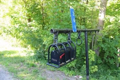
Photographed By Dale K. Benington, July 22, 2015
5. Underground Station Marker
The mailbox across the street from the marker (with the name "Pease written across the front) would seem to indicate that the property has remained in the hands of the descendants of the Pease family mentioned in the text of the marker.
Credits. This page was last revised on June 16, 2016. It was originally submitted on July 24, 2015, by Dale K. Benington of Toledo, Ohio. This page has been viewed 390 times since then and 15 times this year. Photos: 1, 2, 3, 4, 5. submitted on July 24, 2015, by Dale K. Benington of Toledo, Ohio.
