Thessalon in Algoma District, Ontario — Central Canada (North America)
Capture of the "Tigress" and "Scorpion"
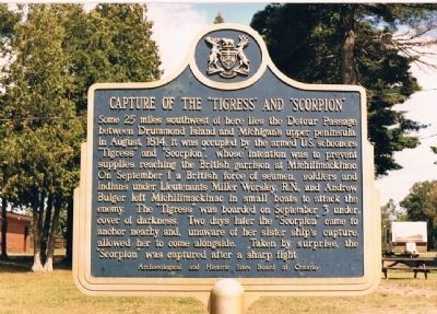
Photographed by Gilbert Collins, circa 1987
1. Capture of the "Tigress" and "Scorpion" Marker
Some 25 miles southwest of here lies the Detour Passage between Drummond Island and Michigan's upper peninsula. In August, 1814, it was occupied by the armed U.S. schooners "Tigress" and "Scorpion", whose intention it was to prevent supplies reaching the British garrison at Michilimackinac. On September 1 a British force of seamen, soldiers and Indians under Lieutenants Miller Worsley, R.N., and Andrew Bulger left Michilimackinac in small boats to attack the enemy. The "Tigress" was boarded on September 3 under cover of darkness. Two days later the "Scorpion" came to anchor nearby and, unaware of her sister ship's capture allowed her to come alongside. Taken by surprise, the "Scorpion" was captured after a sharp fight.
Erected by Archaeological and Historic Sites Board of Ontario.
Topics and series. This historical marker is listed in this topic list: War of 1812. In addition, it is included in the Canada, Ontario Heritage Trust series list. A significant historical month for this entry is September 1935.
Location. 46° 15.613′ N, 83° 33.939′ W. Marker is in Thessalon, Ontario, in Algoma District. It is on Lakeside Drive just north
this page online

Regionally, this marker is in the Sault Ste. Marie and Algoma Area and in Northern Ontario. It is also in Central Canada. Globally, it is in North America, in the Great North Woods, on the Great Lakes, on Lake Superior’s North Shore, in the Western Hemisphere, in the Western World, and in the Anglosphere. Historically, it finds itself in what was once a British colony, the Viceroyalty of New France, the Haudenosaunee (Iroquois) Confederacy, and Rupert’s Land.
Related markers. Click here for a list of markers that are related to this marker. Capture of the “Tigress” and “Scorpion”
Also see . . . Capture of the Tigress and Scorpion, War of 1812. The Canadian Encyclopedia's description of the capture:...On 3 September, Worsley and a party of sailors and soldiers, all in four boats, spied the Tigress anchored alone off Drummond Island. With the help of the British garrison at Michilimackinac they captured that vessel after a severe action including an exchange of fire and sharp hand to hand fighting. Worsley continued to fly the American flag, and then went in search of the Scorpion. On 6 September, Worsley sighted the Scorpion and unaware of what had transpired, that schooner was quickly captured. Worsley had avenged the loss of the Nancy. The captures made the British naval armament stronger at the end of the 1814 fighting season than at its beginning. Worsley renamed the Tigress HM Schooner Surprize and the Scorpion HM Schooner Confiance. Worsley, now in command of the Confiance took that schooner to Michilimackinac in late April 1815, and told the British commandant there that peace terms had been agreed to by Great Britain and the United States.
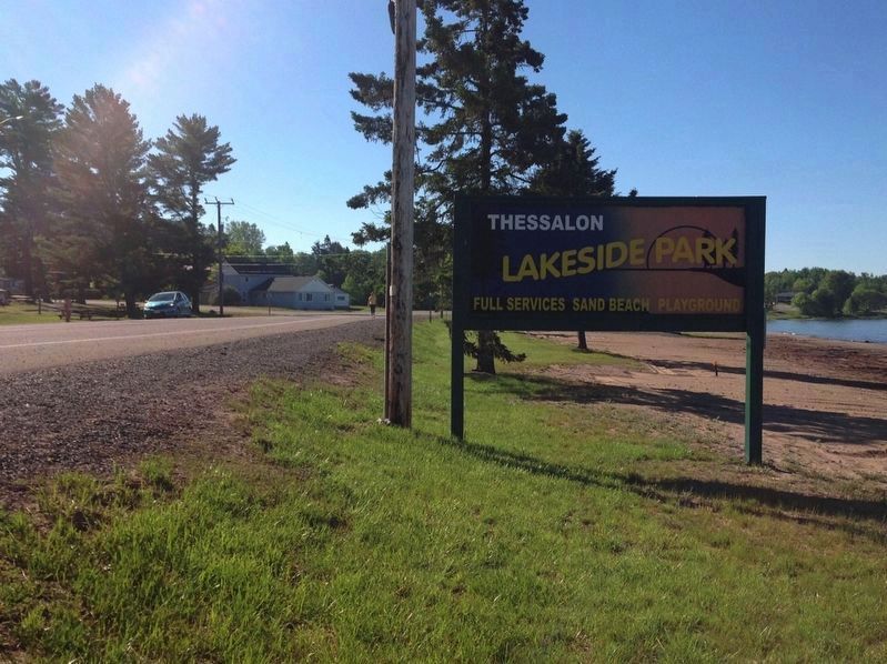
Photographed by Gilbert Collins, circa June 1, 2017
2. Capture of the "Tigress" and "Scorpion" Marker
The plaque is located on the grounds of a trailer park opposite the public beach. It can be seen here in the distance in front of the vehicle.
Additional keywords. Naval Action
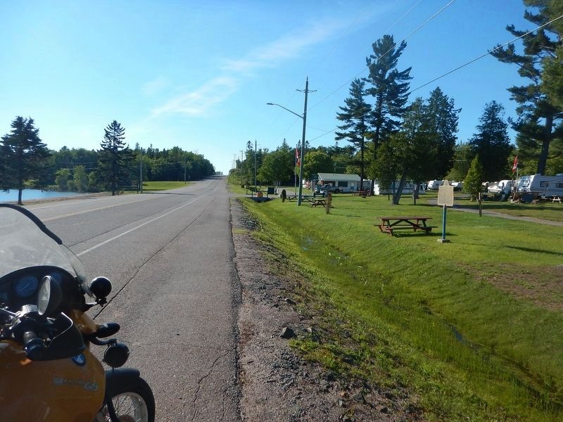
Photographed by Kevin Craft, July 4, 2017
3. Wideview of Capture of the "Tigress" and "Scorpion" Marker
Credits. This page was last revised on November 4, 2024. It was originally submitted on July 24, 2015, by Gilbert Collins of Ottawa, Ontario, Canada. This page has been viewed 893 times since then and 41 times this year. Photos: 1. submitted on July 24, 2015, by Gilbert Collins of Ottawa, Ontario, Canada. 2. submitted on July 1, 2017, by Gilbert Collins of Ottawa, Ontario, Canada. 3. submitted on July 16, 2017, by Kevin Craft of Bedford, Quebec. • Andrew Ruppenstein was the editor who published this page.
