Occoquan in Prince William County, Virginia — The American South (Mid-Atlantic)
Commerce Street
Inscription.
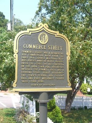
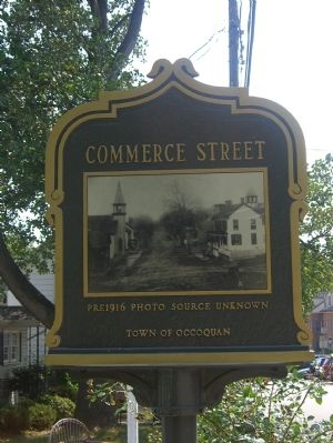
Commerce Street was a residential and commercial area from the early 19th through mid-20th centuries. Houses, many of which survive, faced the street on lots surveyed on the 1804 town plat. Businesses included the Hammill Hotel and a General Store. Public buildings—the town’s school, Odd Fellows Hall, and First Methodist Church—also stood here.
Erected by Town of Occoquan.
Topics and series. This historical marker is listed in these topic lists: Industry & Commerce • Roads & Vehicles • Settlements & Settlers. In addition, it is included in the Virginia, Historic Occoquan series list. A significant historical year for this entry is 1804.
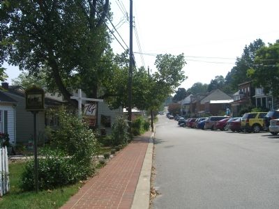
Location. 38° 41.041′ N, 77° 15.701′ W. Marker is in Occoquan, Virginia, in Prince William County. Marker is on Commerce Street, on the left when traveling east. Touch for map. Marker is in this post office area: Occoquan VA 22125, United States of America. Touch for directions.
Other nearby markers. At least 8 other markers are within walking distance of this marker. Odd Fellows Hall (within shouting distance of this marker); 306 Commerce Street (within shouting distance of this marker); Old Hammill Hotel (within shouting distance of this marker); 206 Union Street (within shouting distance of this marker); 204 Union Street (within shouting distance of this marker); United Virginia Bank (about 300 feet away, measured in a direct line); Methodist Church (about 300 feet away); 304 Mill Street (about 300 feet away). Touch for a list and map of all markers in Occoquan.
Credits. This page was last revised on January 25, 2020. It was originally submitted on September 10, 2007, by Kevin W. of Stafford, Virginia. This page has been viewed 1,435 times since then and 13 times this year. Last updated on July 24, 2015, by J. Makali Bruton of Accra, Ghana. Photos: 1, 2. submitted on September 10, 2007, by Kevin W. of Stafford, Virginia. 3. submitted on May 29, 2010, by Kelly Gaitten of Occoquan, Virginia. 4. submitted on September 10, 2007, by Kevin W. of Stafford, Virginia. • Bill Pfingsten was the editor who published this page.


