Mobile in Mobile County, Alabama — The American South (East South Central)
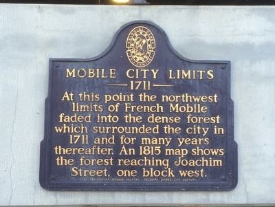
Mobile City Limits
— 1711 —
Erected by Christopher Branch Chapter, Colonial Dames XVII Century.
Topics and series. This historical marker is listed in this topic list: Political Subdivisions. In addition, it is included in the The Colonial Dames XVII Century, National Society series list. A significant historical year for this entry is 1711.
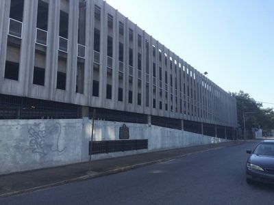
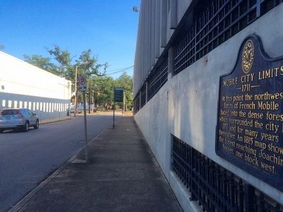
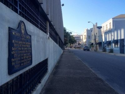
Location. 30° 41.615′ N, 88° 2.626′ W. Marker is in Mobile, Alabama, in Mobile County. Marker is on North Conception Street, 0.1 miles north of St Michael Street, on the right when traveling north. Marker is mounted to outside wall of parking garage. Touch for map. Marker is at or near this postal address: 109 North Conception Street, Mobile AL 36603, United States of America. Touch for directions.
Other nearby markers. At least 8 other markers are within walking distance of this marker. Judge Virgil Pittman / Wiley L. Bolden, Sr. (about 300 feet away, measured in a direct line); The Salvation Army in Mobile (about 400 feet away); Pierre Le Moyne d'Iberville (about 400 feet away); Merchants National Bank Building (about 600 feet away); John Forbes & Co. (about 600 feet away); Site of Sixth Mobile Theatre (about 700 feet away); Old Slave Markets (about 700 feet away); a different marker also named Mobile City Limits (about 700 feet away). Touch for a list and map of all markers in Mobile.
Related markers. Click here for a list of markers that are related to this marker.
Credits. This page was last revised on June 16, 2016. It was originally submitted on July 27, 2015, by Mark Hilton of Montgomery, Alabama. This page has been viewed 460 times since then and 17 times this year. Photos: 1, 2, 3, 4. submitted on July 27, 2015, by Mark Hilton of Montgomery, Alabama.


