Near Midland in Midland County, Texas — The American South (West South Central)
Midland County's First Producing Oil Well
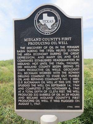
Photographed by Bill Kirchner, July 11, 2015
1. Midland County's First Producing Oil Well Marker
Erected 2005 by Texas Historical Commission. (Marker Number 13403.)
Topics. This historical marker is listed in this topic list: Industry & Commerce. A significant historical date for this entry is August 1, 1947.
Location. 31° 57.276′ N, 101° 56.328′ W. Marker is near Midland, Texas, in Midland County. It is on State Highway 158 6 miles south of Interstate 20, on the right when traveling south. Touch for map. Marker is in this post office area: Midland TX
this page online

Regionally, this marker is in West Texas. It is also in the American Southwest. Globally, it is in North America, a Gulf of Mexico state, the Western Hemisphere, the Western World, and the Anglosphere. Historically, it finds itself in what was once New Spain, the Comanchería, the Republic of Texas, and one of the Confederate States of America.
Other nearby markers. At least 8 other markers are within 9 miles of this marker, measured as the crow flies: Midland County (approx. 5½ miles away); Marcy Trail (approx. 5.6 miles away); W. F. Scarborough Home, 1908 (approx. 8.3 miles away); Brown-Dorsey House (approx. 8.4 miles away); John Valentine Pliska (approx. 8½ miles away); Site of Midland County's First Bank (approx. 8½ miles away); Former Site of Midland National Bank (approx. 8½ miles away); Texas Petroleum in World War II (approx. 8½ miles away). Touch for a list and map of all markers in Midland.
More about this marker. Marker originally placed in 1966, replaced and rewritten in 2005.
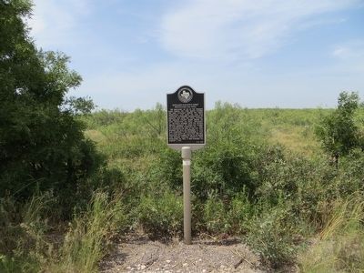
Photographed by Bill Kirchner, July 11, 2015
2. Midland County's First Producing Oil Well Marker
Credits. This page was last revised on December 1, 2024. It was originally submitted on July 31, 2015, by Bill Kirchner of Tucson, Arizona. This page has been viewed 2,548 times since then and 223 times this year. Photos: 1, 2. submitted on July 31, 2015, by Bill Kirchner of Tucson, Arizona. • Andrew Ruppenstein was the editor who published this page.
