Mobile in Mobile County, Alabama — The American South (East South Central)
St. Louis Street Missionary Baptist Church
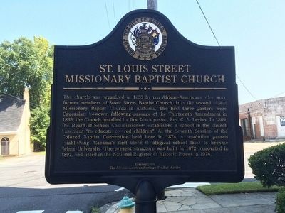
Photographed by Mark Hilton, July 26, 2015
1. St. Louis Street Missionary Baptist Church Marker
Erected 2010 by the African-American Heritage Trail of Mobile. (Marker Number 35.)
Topics and series. This historical marker is listed in these topic lists: African Americans • Education • Notable Places • Religion & Religious Structures. In addition, it is included in the Dora Franklin Finley African-American Heritage Trail of Mobile, and
this page online
Location. 30° 41.478′ N, 88° 3.081′ W. Marker is in Mobile, Alabama, in Mobile County. It is at the intersection of North Dearborn Street and St Louis Street, on the right when traveling north on North Dearborn Street. Touch for map. Marker is at or near this postal address: 108 North Dearborn Street, Mobile AL 36602, United States of America. Touch for directions.

Regionally, this marker is on Alabama’s Gulf Coast and in the Mobile Bay area. It is also in the American South, specifically in the Deep South, and on the Gulf Coast. Globally, it is in North America, a Gulf of Mexico state, the Western Hemisphere, the Western World, and the Anglosphere. Historically, it finds itself in what was once New Spain, the Viceroyalty of New France, the territory of the Mississippian Culture, one of the Confederate States of America, and the Antebellum South.
Other nearby markers. At least 8 other markers are within walking distance of this marker: Creole Firehouse #1 (about 600 feet away, measured in a direct line);

Photographed by Mark Hilton, July 26, 2015
2. St. Louis Street Missionary Baptist Church
Also see . . . Wikipedia article on church. (Submitted on August 1, 2015, by Mark Hilton of Montgomery, Alabama.)
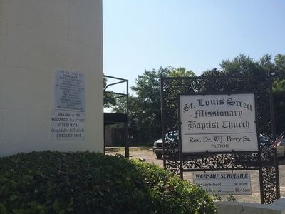
Photographed by Mark Hilton, July 26, 2015
3. St. Louis Street Missionary Baptist Church signs
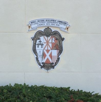
Photographed by Mark Hilton, July 26, 2015
4. City of Mobile marker.
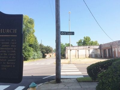
Photographed by Mark Hilton, July 26, 2015
5. View north on North Dearborn Street.
Credits. This page was last revised on December 11, 2017. It was originally submitted on August 1, 2015, by Mark Hilton of Montgomery, Alabama. This page has been viewed 1,077 times since then and 54 times this year. Photos: 1, 2, 3, 4, 5. submitted on August 1, 2015, by Mark Hilton of Montgomery, Alabama.
