Jacksonboro in Colleton County, South Carolina — The American South (South Atlantic)
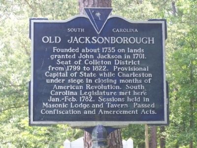
Old Jacksonborough
Erected 1959 by Colleton County Historical Society. (Marker Number 15-1.)
Topics. This historical marker is listed in these topic lists: Notable Places • War, US Revolutionary. A significant historical year for this entry is 1735.
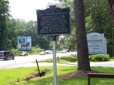
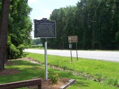
Location. 32° 45.966′ N, 80° 26.915′ W. Marker is in Jacksonboro, South Carolina, in Colleton County. Marker is on Ace Basin Parkway (U.S. 17). At entrance to Edisto Nature Trail. Touch for map. Marker is in this post office area: Jacksonboro SC 29452, United States of America. Touch for directions.
Other nearby markers. At least 8 other markers are within 4 miles of this marker, measured as the crow flies. Pon Pon Chapel (approx. 3.1 miles away); Fateful Choices - The Hanging Of Isaac Hayne (approx. 3.3 miles away); Colonel Issac Hayne (approx. 3.4 miles away); The Burial Site of Captain John Herbert Dent (approx. 3.6 miles away); Bethel Presbyterian Church (approx. 3.6 miles away); Ruins of Pon Pon Chapel of Ease (approx. 3.8 miles away); a different marker also named Pon Pon Chapel (approx. 3.8 miles away); Battle Of Parker's Ferry (approx. 4 miles away). Touch for a list and map of all markers in Jacksonboro.
Also see . . . The South Carolina Estate Confiscation Act of 26 Feb 1782. (Submitted on November 25, 2020, by Mark Hilton of Montgomery, Alabama.)
Credits. This page was last revised on November 25, 2020. It was originally submitted on June 29, 2008, by Mike Stroud of Bluffton, South Carolina. This page has been viewed 2,799 times since then and 114 times this year. Photos: 1, 2, 3. submitted on June 29, 2008, by Mike Stroud of Bluffton, South Carolina. • Christopher Busta-Peck was the editor who published this page.


