Near Monroe City in Chambers County, Texas — The American South (West South Central)
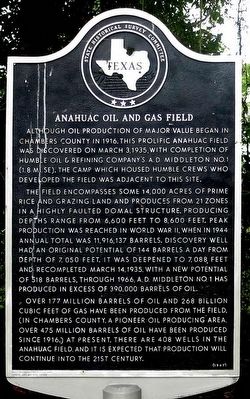
Anahuac Oil and Gas Field
The field encompasses some 14,000 acres of prime rice and grazing land and produces from 21 zones in a highly faulted domal structure. Producing depths range from 6,600 feet to 8,600 feet. Peak production was reached in World War II, when in 1944 annual total was 11,916,137 barrels. Discovery well had an original potential of 144 barrels a day from depth of 7,050 feet. It was deepened to 7,088 feet and recompleted March 14, 1935, with a new potential of 518 barrels. Through 1966, A. D. Middleton No. 1 has produced in excess of 390,000 barrels of oil.
Over 177 million barrels of oil and 268 billion cubic feet of gas have been produced from the field. (In Chambers County, a pioneer oil producing area, over 475 million barrels of oil have been produced since 1916.) At present, there are 408 wells in the Anahuac field, and it is expected that production will continue into the 21st century.
Erected 1967 by State Historical Survey Committee. (Marker Number 9079.)
Topics. This historical marker is listed in this topic list: Industry & Commerce. A significant historical month for this entry is March 1837.
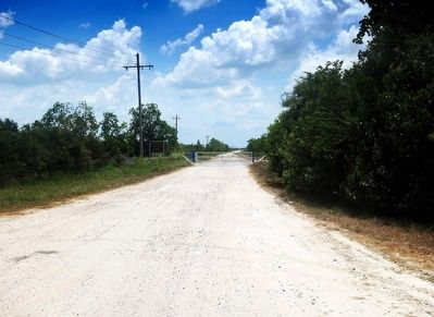
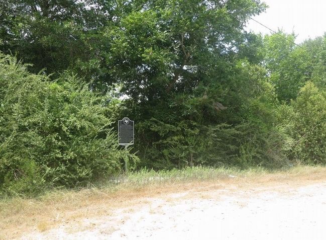
Location. 29° 47.322′ N, 94° 35.233′ W. Marker is near Monroe City, Texas, in Chambers County. Marker can be reached from State Highway 65, 3.2 miles east of State Highway 61, on the right when traveling east. Located 100 yards south of TX-65 on an unmarked entry road to the oil field. Touch for map. Marker is in this post office area: Anahuac TX 77514, United States of America. Touch for directions.
Other nearby markers. At least 8 other markers are within 6 miles of this marker, measured as the crow flies. James Taylor White (approx. 3.6 miles away); Chambers County Youth Project Show (approx. 5.1 miles away); Turtle Bayou Resolutions (approx. 5.2 miles away); Black Education in Chambers County (approx. 5.3 miles away); Chambers County (approx. 5.4 miles away); Events at Anahuac Leading to the Texas Revolution (approx. 5.8 miles away); Lone Star Canal (approx. 5.9 miles away); Home of Thomas Jefferson Chambers (approx. 6 miles away).
More about this marker. Incise in Base: Erected by Chambers County Historical Survey Committee, Guy C. Jackson III, Chairman
Also see . . . From The Handbook of Texas. (Submitted on August 2, 2015, by Jim Evans of Houston, Texas.)
Credits. This page was last revised on June 16, 2016. It was originally submitted on August 2, 2015, by Jim Evans of Houston, Texas. This page has been viewed 537 times since then and 29 times this year. Photos: 1, 2, 3. submitted on August 2, 2015, by Jim Evans of Houston, Texas. • Bernard Fisher was the editor who published this page.


