Antioch Church
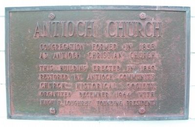
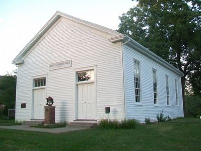
Congregation formed in 1853 as Antioch Christian Church.
This building erected in 1859. Restored by Antioch Community Church Historical Society, organized December 1964 with Hugh P. Loughrey founding president.
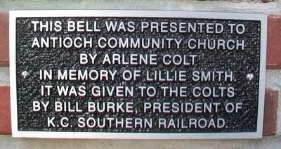
[Additional plaque nearby:]
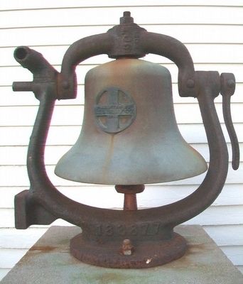
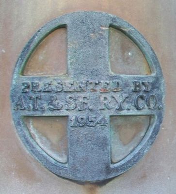
This bell was presented to Antioch Community Church by Arlene Colt in memory of Lillie Smith. It was given to the Colts by Bill Burke, president of the K.C. Southern Railroad.
Erected by Antioch Community Church Historical Society.
Topics. This historical marker is listed in these topic lists: Religion & Religious Structures • Settlements & Settlers. A significant historical year for this entry is 1853.
Location. 39° 10.869′ N, 94° 32.913′ W. Marker is in Kansas City, Missouri, in Clay County. It is in Antioch Acres. It is at the intersection of NE Antioch Road (Missouri Route 1) and NE 48th Street, on the right when traveling north on NE Antioch Road. Touch for map. Marker is at or near this postal address: 4805 NE Antioch Road, Kansas City MO 64119, United States of America. Touch for directions.
Regionally, this marker is in the Missouri River Corridor. It is also
this page online
Other nearby markers. At least 8 other markers are within 3 miles of this marker, measured as the crow flies: A different marker also named Antioch Church (here, next to this marker); a different marker also named Antioch Church (a few steps from this marker); Old Pike Road / Ferry Boat Operators at Kawsmouth (approx. 2 miles away); Atkins-Johnson House (approx. 2.4 miles away); Atkins-Johnson Farmhouse (approx. 2.4 miles away); Atkins-Johnson Farm (approx. 2.4 miles away); Replica of the Statue of Liberty (approx. 2.8 miles away); War Memorial (approx. 2.8 miles away). Touch for a list and map of all markers in Kansas City.
Click for more information.
Credits. This page was last revised on February 10, 2023. It was originally submitted on August 2, 2015, by William Fischer, Jr. of Reynoldsburg, Ohio. This page has been viewed 661 times since then and 44 times this year. Photos: 1, 2, 3, 4, 5. submitted on August 2, 2015, by William Fischer, Jr. of Reynoldsburg, Ohio.
