Near Penwell in Ector County, Texas — The American South (West South Central)
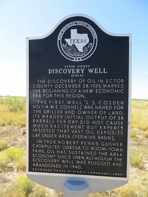
Ector County Discovery Well
(2 mi. S.)
The first well, "J.S. Cosden No.1-A W.E. Connell", was named for the driller and owner of land. Its meager initial output of 38 barrels per day did not cause much excitement, but experts insisted that vast oil deposits lay under area (Permian Basin).
In 1929, Robert Penn's gusher catapulted Odessa to boom-town fame. Oil has sustained the area economy since then, although the discovery well was plugged and abandoned in 1940.
Recorded Texas Historic Landmark – 1967
Erected 1967 by State Historical Survey Committee. (Marker Number 1381.)
Topics. This historical marker is listed in this topic list: Industry & Commerce. A significant historical date for this entry is December 28, 1862.
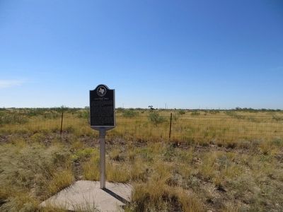
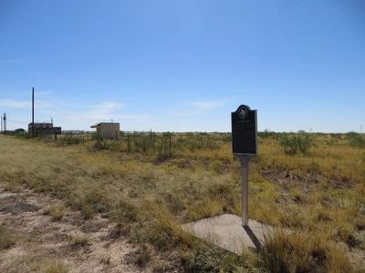
Location. 31° 43.244′ N, 102° 37.563′ W. Marker is near Penwell, Texas, in Ector County. Marker is on Interstate 20 Frontage Road, 2 miles west of Farm to Market Road 1601, on the right when traveling east. Marker is on the frontage road, on the south side of I-20. Touch for map. Marker is in this post office area: Penwell TX 79776, United States of America. Touch for directions.
Other nearby markers. At least 5 other markers are within 16 miles of this marker, measured as the crow flies. Penwell (approx. 1.3 miles away); The Caprock (approx. 4.8 miles away); Odessa Meteor Crater (approx. 9 miles away); Monahans Sandhills State Park and Museum (approx. 13 miles away); Notrees (approx. 15.6 miles away).
Credits. This page was last revised on June 16, 2016. It was originally submitted on August 9, 2015, by Bill Kirchner of Tucson, Arizona. This page has been viewed 571 times since then and 35 times this year. Photos: 1, 2, 3. submitted on August 9, 2015, by Bill Kirchner of Tucson, Arizona.


