Fairhaven in Bristol County, Massachusetts — The American Northeast (New England)
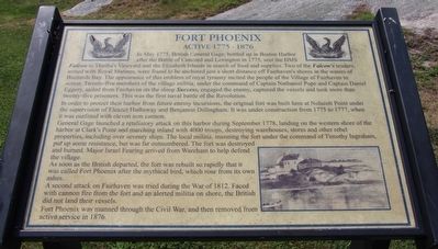
Fort Phoenix
Active 1775 - 1876
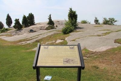
In May 1775, British General Gage, bottled up in Boston Harbor after the Battle of Concord and Lexington in 1775, sent the HMS Falcon to Martha's Vineyard and the Elizabeth Islands in search of food and supplies. Two of the Falcon's tenders, armed with Royal Marines, were found to be anchored just a short distance off Fairhaven's shores in the waters of Buzzards Bay. The appearance of this emblem of royal tyranny incited the people of the Village of Fairhaven to action. Twenty-five members of the village militia, under the command of Captain Nathaniel Pope and Captain Daniel Eggery, sailed from Fairhaven on the sloop Success, engaged the enemy, captured the vessels and took more than twenty-five prisoners. This was the first naval battle of the Revolution.
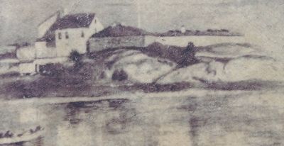
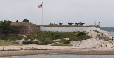
In order to protect their harbor from future enemy incursions, the original fort was built here at Nolscott Point under the supervision of Eleazer Hathaway and Benjamin Dillingham. It was under construction from 1775 to 1777, when it was outfitted with eleven iron cannon.
General Gage launched a retaliatory attack on this harbor during September 1778, landing on the western shore of the harbor at Clark's Point and marching inland with 4000 troops, destroying warehouses, stores and other rebel properties, including over seventy ships. The local militia, manning the fort under the command of Timothy Ingraham, put up some resistance, but was far outnumbered. The fort was destroyed and burned. Major Israel Fearing arrived from Wareham to help defend the village.
As soon as the British departed, the fort was rebuilt so rapidly that it was called Fort Phoenix after the mythical bird, which rose from its own ashes.
A second attack on Fairhaven was tried during the War of 1812. Faced with cannon fire from the fort and an alerted militia on shore, the British did not land their vessels.
Fort Phoenix was manned through the Civil War, and then removed from active service in 1876.
Topics. This historical marker is listed in these topic lists: Forts and Castles • War of 1812 • War, US Revolutionary. A significant historical month for this entry is May 1775.
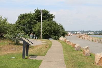
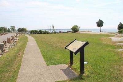
Location. 41° 37.476′ N, 70° 54.1′ W. Marker is in Fairhaven, Massachusetts, in Bristol County. Marker is on Fort Street west of Beacon Street, on the right when traveling west. This marker is located near the water front, near the harbor walkway that goes out on the harbor hurricane break, in the Fort Phoenix State Reservation Park. Touch for map. Marker is in this post office area: Fairhaven MA 02719, United States of America. Touch for directions.
Other nearby markers. At least 8 other markers are within 2 miles of this marker, measured as the crow flies. A different marker also named Fort Phoenix (a few steps from
this marker); Donald R. Bernard (within shouting distance of this marker); Major Israel Fearing (within shouting distance of this marker); Revolutionary War Cannon (within shouting distance of this marker); a different marker also named Fort Phoenix (within shouting distance of this marker); a different marker also named Fort Phoenix (within shouting distance of this marker); William Bradford (approx. 0.6 miles away); Merrill's Wharf (approx. 1.2 miles away). Touch for a list and map of all markers in Fairhaven.
Credits. This page was last revised on June 16, 2016. It was originally submitted on August 10, 2015, by Dale K. Benington of Toledo, Ohio. This page has been viewed 356 times since then and 16 times this year. Photos: 1, 2, 3, 4, 5, 6. submitted on August 10, 2015, by Dale K. Benington of Toledo, Ohio.
