Corning in Adams County, Iowa — The American Midwest (Upper Plains)
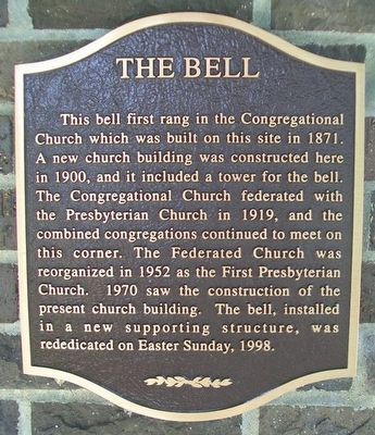
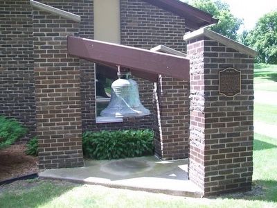
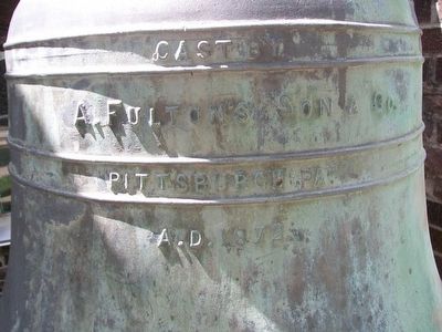
The Bell
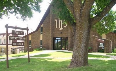
Erected by First Presbyterian Church.
Topics and series. This historical marker is listed in these topic lists: Churches & Religion • Communications. In addition, it is included in the Historic Bells series list. A significant historical year for this entry is 1871.
Location. 40° 59.507′ N, 94° 44.28′ W. Marker is in Corning, Iowa, in Adams County. Marker is at the intersection of Grove Avenue and 10th Street, on the left when traveling north on Grove Avenue. Touch for map. Marker is at or near this postal address: 907 Grove Avenue, Corning IA 50841, United States of America. Touch for directions.
Other nearby markers. At least 8 other markers are within 4 miles of this marker, measured as the crow flies. First Adams County Mill (approx. 0.2 miles away); Adams County Jail (approx. 0.2 miles away); Mt. Etna United Methodist Church (approx. 0.2 miles away); City of Corning Fire Bell (approx. 0.2 miles away); Fairview Church (approx. 0.2 miles away); Veterans Memorial (approx. 0.2 miles away); Corning Freedom Rock Veterans Memorial (approx. 0.3 miles away); Icarian Colony (approx. 3.1 miles away). Touch for a list and map of all markers in Corning.
Also see . . . First Presbyterian Church, Corning, Iowa, on Facebook. (Submitted on August 10, 2015, by William Fischer, Jr. of Scranton, Pennsylvania.)
Credits. This page was last revised on August 30, 2020. It was originally submitted on August 10, 2015, by William Fischer, Jr. of Scranton, Pennsylvania. This page has been viewed 362 times since then and 12 times this year. Photos: 1, 2, 3, 4. submitted on August 10, 2015, by William Fischer, Jr. of Scranton, Pennsylvania.


