Fort Laramie in Goshen County, Wyoming — The American West (Mountains)
Administration Building
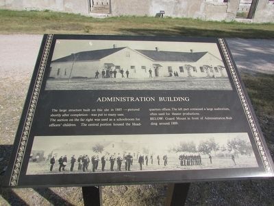
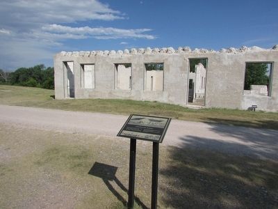
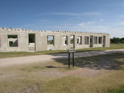
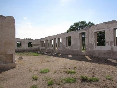
The large structure built on this site in 1885 – pictured shortly after completion – was put to many uses.
The section on the far right was used as a schoolroom for officers’ children. The central portion housed the Headquarters offices. The left part contained a large auditorium. Often used for theater productions.
BELOW: Guard Mount in front of Administration Building around 1889.
Erected by National Park Service.
Topics. This historical marker is listed in this topic list: Forts and Castles. A significant historical year for this entry is 1885.
Location. 42° 12.097′ N, 104° 33.475′ W. Marker is in Fort Laramie, Wyoming, in Goshen County. Marker can be reached from State Highway 160, on the left when traveling west. Marker is located at Fort Laramie National Historic Site. Touch for map. Marker is in this post office area: Fort Laramie WY 82212, United States of America. Touch for directions.
Other nearby markers. At least 8 other markers are within walking distance of this marker. Reading, ‘Riting, and ‘Rithmetic (within shouting distance of this marker); Captain’s Quarters (within shouting distance of this marker); Military Justice: Punishment Harsh and Certain (within shouting distance of this marker); Parade Ground (within shouting distance of this marker); Between Two Worlds . . . the American Métis (about 300 feet away, measured in a direct line); Refinement at Fort Laramie (about 300 feet away); The “New” Guardhouse and Adjacent Barracks (about 400 feet away); Fort John – The ‘Second Fort Laramie’ (about 400 feet away). Touch for a list and map of all markers in Fort Laramie.
Credits. This page was last revised on June 16, 2016. It was originally submitted on August 11, 2015, by Bill Coughlin of Woodland Park, New Jersey. This page has been viewed 329 times since then and 12 times this year. Photos: 1, 2, 3, 4. submitted on August 11, 2015, by Bill Coughlin of Woodland Park, New Jersey.


