Near Prescott in Leeds and Grenville United Counties, Ontario — Central Canada (North America)
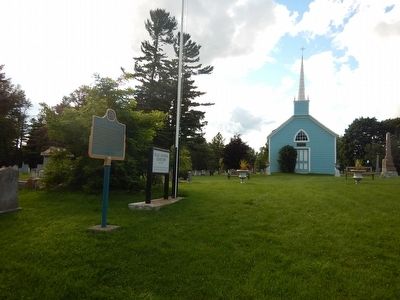
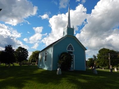
The Blue Church
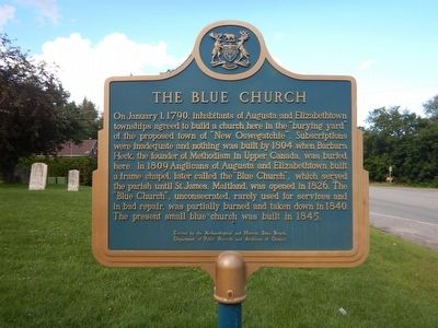
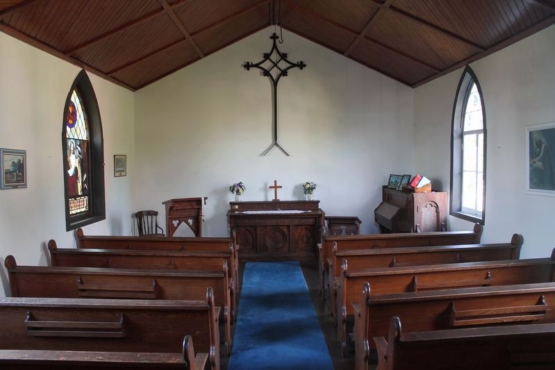
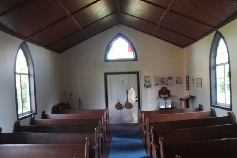
On January 1, 1790, inhabitants of Augusta and Elizabethtown townships agreed to build a church here in the burying yard of the proposed town of "New Oswegatchie". Subscriptions were inadequate and nothing was built by 1804 when Barbara Heck, the founder of Methodism in Upper Canada, was buried here. In 1809 Anglicans of Augusta and Elizabethtown built a frame chapel, later called the "Blue Church", which served the parish until St. James, Maitland, was opened in 1826. The "Blue Church", unconsecrated, rarely used for services and in bad repair, was partially burned and taken down in 1840. The present small blue church was built in 1845.
Erected by Archaeological and Historic Sites Board, Department of Public Records and Archives of Ontario.
Topics. This historical marker is listed in these topic lists: Cemeteries & Burial Sites • Churches & Religion. A significant historical month for this entry is January 1852.
Location. 44° 40.789′ N, 75° 33.627′ W. Marker is near Prescott, Ontario, in Leeds and Grenville United Counties. Marker is at the intersection of Provincial Highway 2 and Blue Church Road, on the right when traveling west on Provincial Highway 2. Blue Church and marker are located about 4km west of Prescott. Touch for map. Marker is at or near this postal address: 1512 Ontario Route 2, Prescott ON K0E 1T0, Canada. Touch for directions.
Other nearby markers. At least 8 other markers are within 5 kilometers of this marker, measured as the crow flies. Justus Sherwood 1747-1798 (approx. 3.4 kilometers away); The Rothesay (approx. 3.4 kilometers away); Jean Casselman Wadds (approx. 4.1 kilometers away); Capture of Ogdensburg (approx. 4.1 kilometers away); Grand Trunk Railway (approx. 4.5 kilometers away); Prescott, Ontario (approx. 4.8 kilometers away); Mission Fort (approx. 4.8 kilometers away in the U.S.); Glasgow, Smyth Building (approx. 4.8 kilometers away). Touch for a list and map of all markers in Prescott.
Credits. This page was last revised on August 23, 2022. It was originally submitted on August 11, 2015, by Kevin Craft of Bedford, Quebec. This page has been viewed 436 times since then and 53 times this year. Photos: 1. submitted on August 11, 2015, by Kevin Craft of Bedford, Quebec. 2, 3, 4. submitted on August 1, 2022, by Robert Rusaw of Massena, New York. 5, 6. submitted on August 11, 2015, by Kevin Craft of Bedford, Quebec.
