Calhoun in Gordon County, Georgia — The American South (South Atlantic)
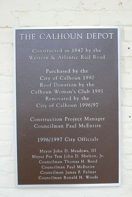
The Calhoun Depot
Photographed by Brandon Fletcher, April 23, 2011
1. The Calhoun Depot Marker
Western & Atlantic Rail Road
Purchased by the
City of Calhoun 1990
Roof Donation by the
Calhoun Woman's Club 1991
Renovated by the
City of Calhoun 1996/97
Construction Project Manager
Councilman Paul McEntire
1996/97 City Officials
Mayor John d. Meadows, III
Mayor Pro Tem John D. Shelton, Jr.
Councilman Thomas H. Bond
Councilman Paul McEntire
Councilman James F. Palmer
Councilman Ronald H. Woods
Topics. This historical marker is listed in this topic list: Railroads & Streetcars.
Location. 34° 30.118′ N, 84° 57.193′ W. Marker is in Calhoun, Georgia, in Gordon County. It can be reached from the intersection of South King Street and Oothcalooga Street, on the right when traveling north. Marker is located on the west side of the Calhoun Depot. Touch for map. Marker is at or near this postal address: 109 S King St, Calhoun GA 30701, United States of America. Touch for directions.

Regionally, this marker is in the Mountains. It is also in the American South, specifically in the Deep South, in Appalachia, and specifically in Southern Appalachia. Globally, it is in North America, the Western Hemisphere, the Western World, and the Anglosphere. Historically, it finds itself in what was once the original Cherokee Nation, the territory of the Mississippian Culture, one of the original Thirteen Colonies, one of the Confederate States of America, and the Antebellum South.
Other nearby markers. At least 8 other markers are within 3 miles of this marker, measured as the crow flies: A different marker also named Calhoun Depot (within shouting distance of this marker); Gordon County (about 700 feet away, measured in a direct line); Calhoun, Ga, May 18, 1864. (approx. 0.2 miles away); Roland Hayes (approx. ¼ mile
this page online
Photographed by Brandon Fletcher, April 23, 2011
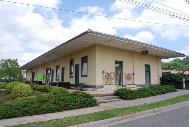
2. The Calhoun Depot Marker
(green arrow) marker on side of depot
Photographed by Brandon Fletcher, April 23, 2011
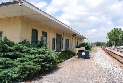
3. The Calhoun Depot
Photographed by Brandon Fletcher, April 23, 2011
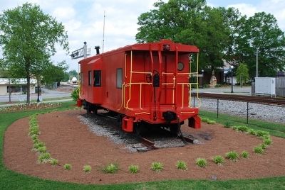
4. The Calhoun Depot Railroad Car
Credits. This page was last revised on July 7, 2016. It was originally submitted on August 12, 2015, by Brandon Fletcher of Chattanooga, Tennessee. This page has been viewed 1,031 times since then and 58 times this year. Photos: 1, 2, 3, 4. submitted on August 12, 2015, by Brandon Fletcher of Chattanooga, Tennessee. • Bernard Fisher was the editor who published this page.
