
Fremont in Sandusky County, Ohio — The American Midwest (Great Lakes)
Spiegel Grove State Park
Photographed by Bill Coughlin, August 5, 2015
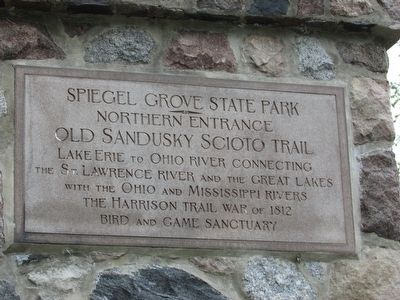
1. Spiegel Grove State Park Marker
Old Sandusky Scioto Trail
Lake Erie to Ohio River connecting
the St. Lawrence River and the Great Lakes
with the Ohio and Mississippi Rivers
The Harrison Trail War of 1812
Bird and Game Sanctuary
Topics. This historical marker is listed in this topic list: War of 1812. A significant historical year for this entry is 1812.
Location. 41° 20.514′ N, 83° 7.629′ W. Marker is in Fremont, Ohio, in Sandusky County. It is at the intersection of Hayes Avenue and Buckland Avenue, on the left when traveling west on Hayes Avenue. Marker is at the entrance to the Hayes Presidential Center. Touch for map. Marker is in this post office area: Fremont OH 43420, United States of America. Touch for directions.

Regionally, this marker is on the Lake Erie Shore and in the Toledo Metropolitan Area. It is also in the American Midwest and in the Corn Belt. Globally, it is in North America, on the Great Lakes, in the Western Hemisphere, in the Western World, and in the Anglosphere. Historically, it finds itself in what was once the Viceroyalty of New France, the Haudenosaunee (Iroquois) Confederacy, the territory of the Mississippian
this page online
Other nearby markers. At least 8 other markers are within walking distance of this marker: Croghan Gateway (here, next to this marker); Spiegel Grove (within shouting distance of this marker); Peggy Fleming (within shouting distance of this marker); Ralph Billow (about 300 feet away, measured in a direct line); Rutherford B. Hayes (about 400 feet away); American Elm (about 500 feet away); Memorial Gateway (about 600 feet away); a different marker also named Spiegel Grove (about 600 feet away). Touch for a list and map of all markers in Fremont.
Another marker is no longer nearby. Spiegel Grove (was about 500 feet away but has been permanently removed).
Photographed by Bill Coughlin, August 5, 2015
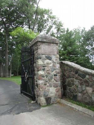
2. Spiegel Grove State Park Marker
Photographed by Bill Coughlin, August 5, 2015
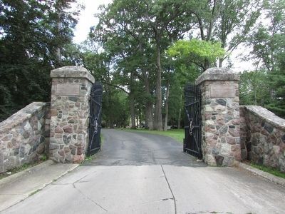
3. Spiegel Grove State Park Marker
Marker can be seen on the pillar on the right side of the gate.
Photographed by Bill Coughlin, August 5, 2015
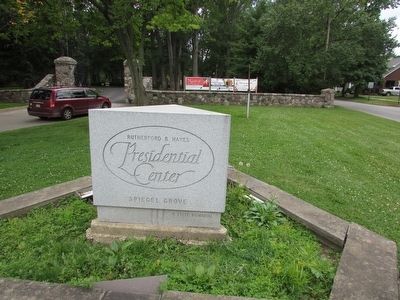
4. Marker at the Hayes Presidential Center
Marker is at the entrance to the Hayes Presidential Center. It is visible in the background.
Credits. This page was last revised on June 16, 2016. It was originally submitted on August 16, 2015, by Bill Coughlin of Woodland Park, New Jersey. This page has been viewed 437 times since then and 17 times this year. Photos: 1, 2, 3, 4. submitted on August 16, 2015, by Bill Coughlin of Woodland Park, New Jersey.
