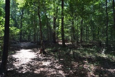
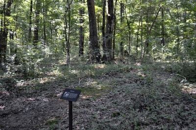
Near Stanton in Jefferson County, Mississippi — The American South (East South Central)
Mount Locust
(Marker #1)
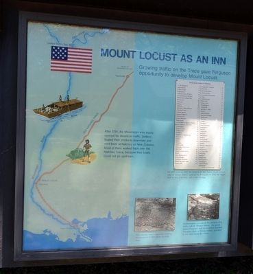
Mount Locust as an Inn
Growing traffic on the Trace gave Ferguson opportunity to develop Mount Locust.
After 1795, the Mississippi was legally opened for American traffic. Settlers floated their products downriver and sold them at Natchez or New Orleans. Most of them walked back over the Natchez Trace, because their boats could not go upstream.
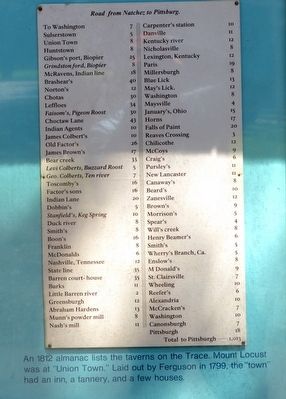
(List Caption)
An 1812 almanac lists the taverns on the Trace. Mount Locust was at “Union Town.” Laid out by Ferguson in 1799, the “town” had an inn, a tannery, and a few houses.
(Image Captions)
The kitchen was a separate building. Excavations in 1941 show its brick floor.
Archeologists uncovered the remains of a brick walk to “Sleepy Hollow,” the guest house Ferguson built as business boomed. Travelers slept at Sleepy Hollow, but went to the main house for meals.
(Marker #2)
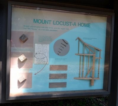
Mount Locust - A Home
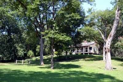
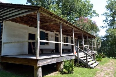
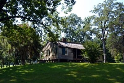
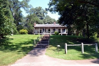
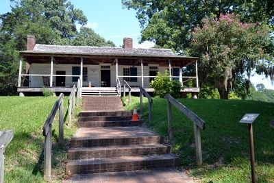
Mount Locust grew with the family and the region into the “Big House” of a fair-size plantation.
(Graphic Captions)
Partial inventory of Mount Locust furnishings in 1801. Most furniture seems to have been made of local materials. Tableware and the looking glass probably were imported from Philadelphia.
Oak and sassafras were used for framing.
Clapboard and furniture came from heart poplar.
Alterations can often be dated by the kind of nails and screws.
Original late 18th century–Pit saw or whip (Hand Power)
Early 19th century additions–Mill sawn vertical power driven (Horse Power)
Late 19th century–Circular saw additions (Steam Power)
Complicated joints in the older construction show skilled craftsmanship.
Erected by National Park Service.
Topics and series. This historical marker is listed in these topic lists: Industry & Commerce • Roads & Vehicles. In addition, it is included in the Natchez Trace series list. A significant historical year for this entry is 1795.
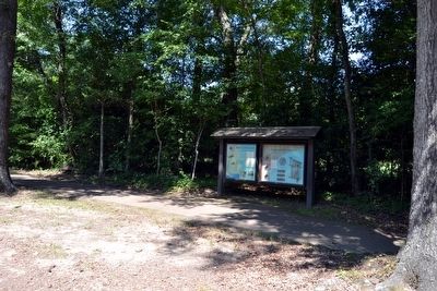
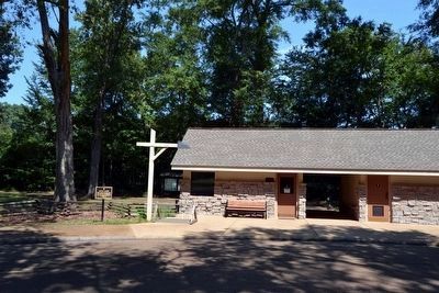
Location. 31° 41.214′ N, 91° 11.359′ W. Marker is near Stanton, Mississippi, in Jefferson County. Marker can be reached from Natchez Trace Parkway (at milepost 15.5), 0.2 miles south of Cannonsburg Road. Marker is located at the Mount Locust turnout behind the ranger station / restroom building. Touch for map. Marker is in this post office area: Natchez MS 39120, United States of America. Touch for directions.
Other nearby markers. At least 8 other markers are within 4 miles of this marker, measured as the crow flies. A different marker also named Mount Locust (a few steps from this marker); Loess Bluff (approx. 3 miles away); Church Hill (approx. 3˝ miles away); Salem Church (approx. 3.7 miles away); The Baptist Record (approx. 3.8 miles away); Mississippi Baptist Health Systems, Inc. (approx. 3.8 miles away); Baptist Building (approx. 3.8 miles away); Conference Ministries (approx. 3.8 miles away). Touch for a list and map of all markers in Stanton.
Also see . . .
1. Natchez Trace Parkway. Official National Park Service website. (Submitted on August 16, 2015.)
2. This Is The Oldest Place You Can Possibly Go In Mississippi And Its History Will Fascinate You. Only In Your State website entry (Submitted on December 9, 2021, by Larry Gertner of New York, New York.)
Photographed By Duane Hall, August 4, 2015
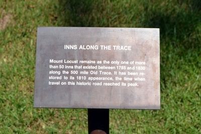
11. Inns Along the Trace Interpretive Sign
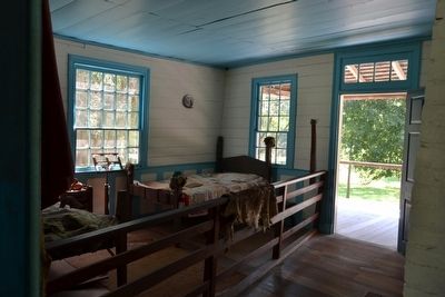
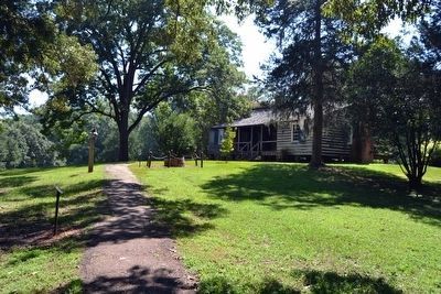
Mount Locust remains as the only one of more than 50 inns that existed between 1785 and 1830 along the 500 mile Old Trace. It has been restored to its 1810 appearance, the time when travel on this historic road reached its peak.
Photographed By Duane Hall, August 4, 2015
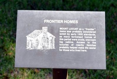
13. Frontier Homes Interpretive Sign
Mount Locust as a “frontier” home was probably considered lavish by early 1800 standards, as many farmstead homes of this period were crude, one-room log cabins. Access to the luxuries of nearby Natchez probably helped make life easier for those who lived here.
Photographed By Duane Hall, August 4, 2015
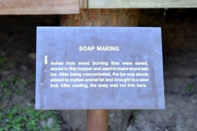
15. Soap Making Interpretive Sign
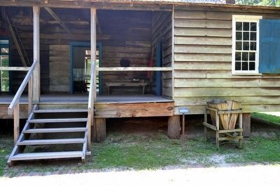
Ashes from wood burning fires were saved, stored in this hopper and used to make wood ash lye. After being concentrated, the lye was slowly added to melted animal fat and brought to a slow boil. After cooling, the soap was cut into bars.
Photographed By Duane Hall, August 4, 2015
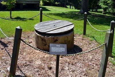
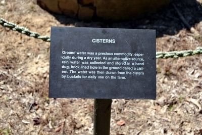
17. Cisterns Interpretive Sign
Ground water was a precious commodity, especially during a dry year. As an alternative source, rain water was collected and stored in a hand dug, brick lined hole in the ground called a cistern. The water was then drawn from the cistern by buckets for daily use on the farm.
Photographed By Duane Hall, August 4, 2015
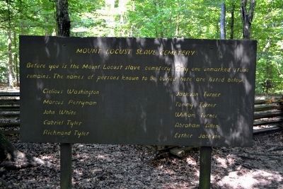
19. Mount Locust Slave Cemetery Marker
Before you is the Mount Locust slave cemetery. Only one unmarked stone remains. The names of persons known to be buried here are listed below.
Cielious Washington • Marcus Perryman • John White • Gabriel Tyler • Richmond Tyler • Jackson Turner • Tommy Turner • William Turner • Abraham Allen • Esther Jackson
Cielious Washington • Marcus Perryman • John White • Gabriel Tyler • Richmond Tyler • Jackson Turner • Tommy Turner • William Turner • Abraham Allen • Esther Jackson
Photographed By Duane Hall, August 4, 2015
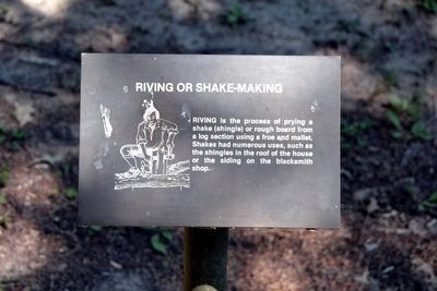
21. Riving or Shake-Making Interpretive Sign
Riving is the process of prying a shake (shingle) or rough board from a log section using a froe and mallet. Shakes had numerous uses, such as the shingles in the roof of the house or the siding on the blacksmith shop.
Photographed By Duane Hall, August 4, 2015
23. Old Trace Path Interpretive Sign
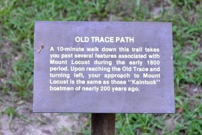
A 10-minute walk down this trail takes you past several features associated with Mount Locust during the early 1800 period. Upon reaching the Old Trace and turning left, your approach to Mount Locus is the same as those “Kaintuck” boatmen of nearly 200 years ago.
Photographed By Duane Hall, August 4, 2015
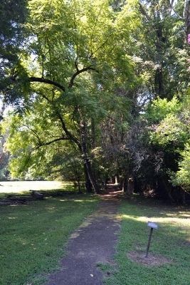
25. Old Field Road Interpretive Sign
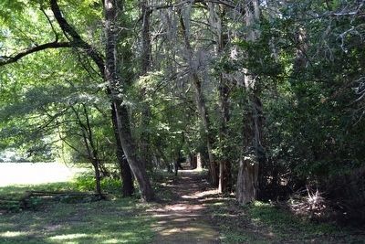
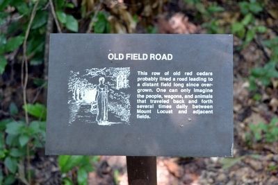
This row of old red cedars probably lined a road leading to a distant field long since overgrown. One can only imagine the people, wagons, and animals that traveled back and forth several times daily between Mount Locust and adjacent fields.
Photographed By Duane Hall, August 4, 2015
27. Family Cemetery Interpretive Sign
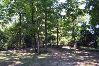
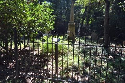
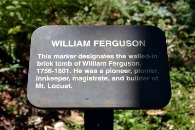
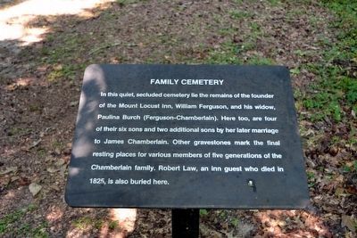
In this quiet, secluded cemetery lie the remains of the founder of the Mount Locust Inn, William Ferguson, and his widow, Paulina Burch (Ferguson-Chamberlain). Here too, are four of their six sons and two additional sons by her later marriage to James Chamberlain. Other gravestones mark the final resting places for various members of five generations of the Chamberlain family. Robert Law, an Inn guest who died in 1825, is also buried here.
Photographed By Duane Hall, August 4, 2015
31. Building Materials Interpretive Sign
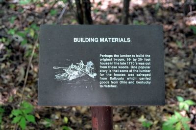
Perhaps the lumber to build the original 1-room, 16- by 20- foot house in the late 1770's was cut from these woods. One popular story is that some of the lumber for the houses was salvaged from flatboats which carried goods from Ohio and Kentucky to Natchez.
Photographed By Duane Hall, August 4, 2015
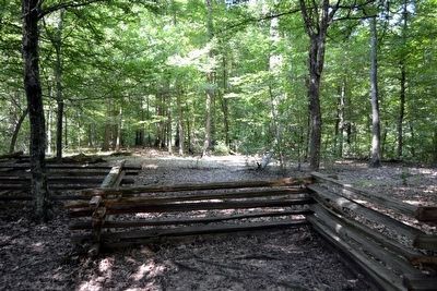
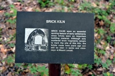
33. Brick Kiln Interpretive Sign
Brick kilns were an essential feature of early settlements since bricks were an important building material. Although only the scattered brick fragments remain to mark the site of this kiln, the bricks made here years ago can still be seen in walks and chimneys at Mount Locust.
Credits. This page was last revised on December 9, 2021. It was originally submitted on August 16, 2015, by Duane Hall of Abilene, Texas. This page has been viewed 506 times since then and 31 times this year. Photos: 1, 2, 3, 4, 5, 6, 7, 8, 9. submitted on August 16, 2015, by Duane Hall of Abilene, Texas. 10, 11, 12, 13, 14, 15, 16, 17, 18, 19, 20, 21, 22, 23, 24, 25, 26, 27, 28, 29, 30, 31, 32, 33. submitted on October 15, 2015, by Duane Hall of Abilene, Texas.
