Edisto in Orangeburg County, South Carolina — The American South (South Atlantic)
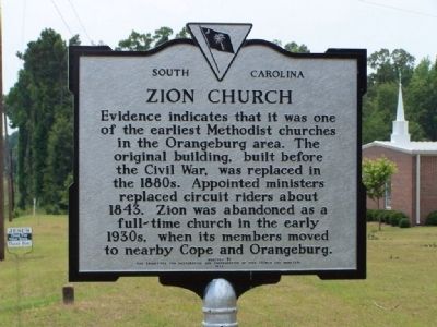
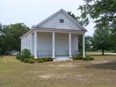
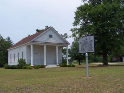
Zion Church
Erected 1974 by The Committee for Restoration and Preservation of Zion Church and Cemetery. (Marker Number 38-19.)
Topics. This historical marker is listed in these topic lists: Churches & Religion • Landmarks. A significant historical year for this entry is 1843.
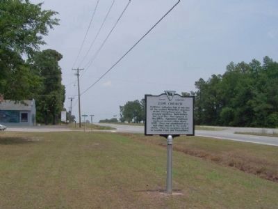
Location. 33° 27.773′ N, 80° 56.145′ W. Marker is in Edisto, South Carolina, in Orangeburg County. Marker is on Bamberg Rd ( US-301 / US-601) near Zion Church Rd., on the left when traveling north. Touch for map. Marker is in this post office area: Orangeburg SC 29115, United States of America. Touch for directions.
Other nearby markers. At least 8 other markers are within 5 miles of this marker, measured as the crow flies. Orangeburgh and Ninety Six Road (approx. 1.9 miles away); Defense of Edisto Bridge (approx. 3.9 miles away); Confederate Flag (approx. 3.9 miles away); Albergotti Playground (approx. 4 miles away); Orangeburg County / Discovering Orangeburg (approx. 4 miles away); Veterans Memorial Fountain (approx. 4.1 miles away); Veterans Memorial Park (approx. 4.1 miles away); Pioneer Graveyard (approx. 4.4 miles away).
Credits. This page was last revised on June 16, 2016. It was originally submitted on July 3, 2008, by Mike Stroud of Bluffton, South Carolina. This page has been viewed 1,158 times since then and 31 times this year. Photos: 1, 2, 3, 4. submitted on July 3, 2008, by Mike Stroud of Bluffton, South Carolina. • J. J. Prats was the editor who published this page.


