Maurepas in Livingston Parish, Louisiana — The American South (West South Central)
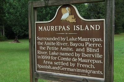
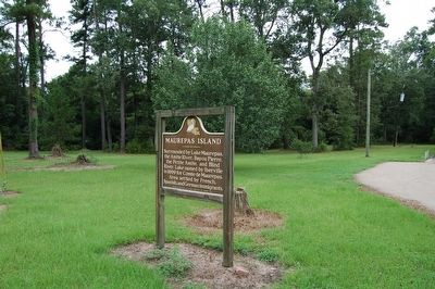
Maurepas Island
Erected 1982 by Department of Culture, Recreation and Tourism.
Topics. This historical marker is listed in these topic lists: Exploration • Settlements & Settlers • Waterways & Vessels. A significant historical year for this entry is 1699.
Location. 30° 17.618′ N, 90° 39.362′ W. Marker is in Maurepas, Louisiana, in Livingston Parish. Marker is on State Highway 22, 0.1 miles east of Picou Road, on the left when traveling north. Touch for map. Marker is at or near this postal address: 24259 Hwy 22, Maurepas LA 70449, United States of America. Touch for directions.
Other nearby markers. At least 8 other markers are within 12 miles of this marker, measured as the crow flies. French Settlement (approx. 8˝ miles away); Carter Plantation (approx. 9.8 miles away); Centerville, Louisiana (approx. 9.9 miles away); Springfield's Role in West Florida Revolution (approx. 11.3 miles away); Springfield Cemetery Cannon (approx. 11.4 miles away); Springfield (approx. 11.4 miles away); Haynes Settlement (approx. 11.8 miles away); Port Vincent (approx. 11.9 miles away).
Credits. This page was last revised on February 23, 2024. It was originally submitted on August 21, 2015. This page has been viewed 569 times since then and 59 times this year. Photos: 1, 2. submitted on August 21, 2015. • Bernard Fisher was the editor who published this page.

