Wapiti in Park County, Wyoming — The American West (Mountains)
Absaroka Volcanic Field
Wyoming
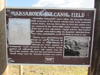
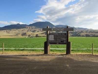
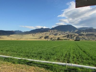
Stretching across 9,000 square miles, the Absaroka Volcanic Field forms one of the largest volcanic fields in the continental United States. Between thirty-five to fifty-five million years ago volcanoes in the Yellowstone region erupted, depositing 10,000 feet of lava and debris. Glacial activity then sculpted the volcanic material creating the beautiful Absaroka Range seen today, including the castle-like forms in front of you.
Remote areas of the Absaroka Range can only be accessed by horseback or foot, making it difficult for study, mapping or development. Fossils discovered in the deposits include tropical and subtropical plants and animals from the time of the eruption. This area has experienced dramatic climate change since the Absaroka Volcanic were active.
Erected by Wyoming State Parks & Cultural Resources.
Topics. This historical marker is listed in this topic list: Natural Features.
Location. 44° 27.755′ N, 109° 27.62′ W. Marker is in Wapiti, Wyoming, in Park County. Marker is at the intersection of Northfork Highway and Rand Creek Ranch Road, on the right when traveling west on Northfork Highway. Touch for map. Marker is in this post office area: Wapiti WY 82450, United States of America. Touch for directions.
Other nearby markers. At least 7 other markers are within 10 miles of this marker, measured as the crow flies. A Burning Need (approx. 3.2 miles away); Shoshone National Forest (approx. 3.2 miles away); Is This Forest Healthy? (approx. 3.2 miles away); Protection Proves Profitable (approx. 3.2 miles away); Touch the Past (approx. 6.1 miles away); Solving the Prehistoric Puzzle (approx. 6.1 miles away); Castle Rock (approx. 9˝ miles away).
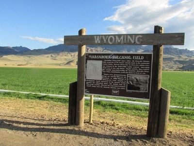
More about this marker. The upper left of the marker contains a map of northwest Wyoming, showing the location of the Absaroka Volcanic Fields. A photograph of the Absarka Range appears on the right side of the marker.
Credits. This page was last revised on June 16, 2016. It was originally submitted on August 23, 2015, by Bill Coughlin of Woodland Park, New Jersey. This page has been viewed 503 times since then and 27 times this year. Photos: 1, 2, 3, 4. submitted on August 23, 2015, by Bill Coughlin of Woodland Park, New Jersey.


