Nunda in Livingston County, New York — The American Northeast (Mid-Atlantic)
"Nunda Valley"
Photographed by Anton Schwarzmueller, August 24, 2015
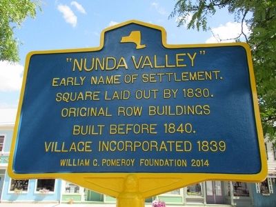
1. "Nunda Valley" Marker
Early name of settlement.
Square laid out by 1830.
Original row buildings
built before 1840.
Village incorporated 1839
Erected 2014 by William G. Pomeroy Foundation.
Topics and series. This historical marker is listed in this topic list: Settlements & Settlers. In addition, it is included in the William G. Pomeroy Foundation series list. A significant historical year for this entry is 1830.
Location. 42° 34.785′ N, 77° 56.553′ W. Marker is in Nunda, New York, in Livingston County. It is at the intersection of North State Street (New York State Route 408 at milepost 10.6) and Mill Street ( Route 436), on the right when traveling north on North State Street. Touch for map. Marker is in this post office area: Nunda NY 14517, United States of America. Touch for directions.

Regionally, this marker is in Upstate New York, specifically in Western New York, in the Finger Lakes, and in the Rochester Metropolitan Area. It is also in the American Northeast and in the Mid-Atlantic. Globally, it is in North America, the Western Hemisphere, the Western World, and the Anglosphere. Historically, it finds
this page online
Other nearby markers. At least 8 other markers are within 3 miles of this marker, measured as the crow flies: Oakwood Cemetery (approx. 0.2 miles away); Nunda Soldiers' Monument (approx. ¼ mile away); 17 Locks (approx. 0.3 miles away); Lock 42 (approx. 0.3 miles away); The Genesee Valley Canal (approx. 1½ miles away); Deep Cut (approx. 2.1 miles away); Kish-A-Wa (approx. 2.6 miles away); Dalton RR Depot (approx. 2.7 miles away). Touch for a list and map of all markers in Nunda.
Photographed by Anton Schwarzmueller, August 24, 2015
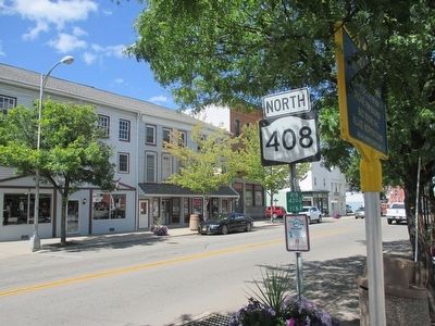
2. Northward
Photographed by Anton Schwarzmueller, August 24, 2015
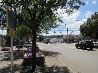
3. Southward
On NY 408 toward intersection with NY 436.
Photographed by Anton Schwarzmueller, August 24, 2015
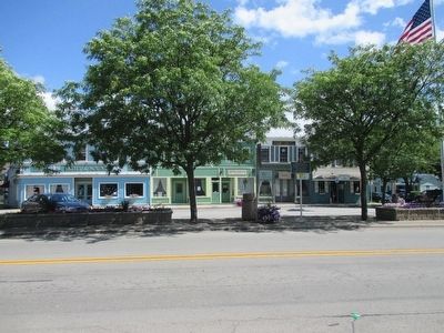
4. "Nunda Valley" Marker
Eastward.
Credits. This page was last revised on June 16, 2016. It was originally submitted on August 24, 2015, by Anton Schwarzmueller of Wilson, New York. This page has been viewed 520 times since then and 39 times this year. Photos: 1, 2, 3, 4. submitted on August 24, 2015, by Anton Schwarzmueller of Wilson, New York.
