Banner in Sheridan County, Wyoming — The American West (Mountains)
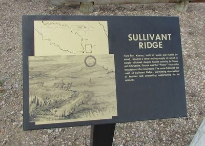
Sullivant Ridge
Photographed by Bill Coughlin, July 23, 2015
1. Sullivant Ridge Marker
Fort Phil Kearny, built of wood and fueled by wood, required a never ending supply of wood. A supply obtained despite hostile activities by Sioux and Cheyenne. Source was the “Pinery” four miles west against the mountains. The route followed the crest of the Sullivant Ridge – permitting observation of hostiles and preventing opportunity for an ambush.
Topics. This historical marker is listed in this topic list: Forts and Castles.
Location. 44° 31.962′ N, 106° 49.666′ W. Marker is in Banner, Wyoming, in Sheridan County. It is on Wagon Box Road, on the left when traveling west. Marker is located at Fort Phil Kearny. Touch for map. Marker is in this post office area: Banner WY 82832, United States of America. Touch for directions.

Regionally, this marker is in Wyoming’s Powder River Basin. It is also in the American Mountain West. Globally, it is in North America, the Rocky Mountains, the Western Hemisphere, the Western World, and the Anglosphere.
Other nearby markers. At least 8 other markers are within walking distance of this marker: Lodge Trail Ridge
this page online
More about this marker. The left side of the marker contains a map indicating the location of Fort Phil Kearny, Sullivant Ridge, the Pinery and the wood road. Below this is a picture of wagon loads of wood being transported to the fort. Sullivant Ridge is circled in the picture.
Also see . . . Fort Phil Kearny State Historic Site. (Submitted on August 25, 2015, by Bill Coughlin of Woodland Park, New Jersey.)
Photographed by Bill Coughlin, July 23, 2015
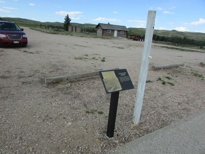
2. Sullivant Ridge Marker
Photographed by Bill Coughlin, July 23, 2015
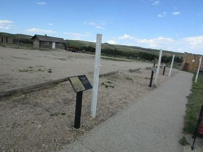
3. Sullivant Ridge Marker
Photographed by Bill Coughlin, July 23, 2015
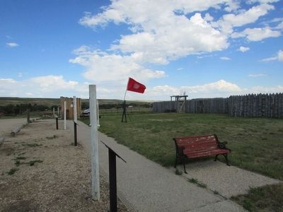
4. Marker at Fort Phil Kearny
Credits. This page was last revised on June 16, 2016. It was originally submitted on August 25, 2015, by Bill Coughlin of Woodland Park, New Jersey. This page has been viewed 504 times since then and 41 times this year. Photos: 1, 2, 3, 4. submitted on August 25, 2015, by Bill Coughlin of Woodland Park, New Jersey.
