Weedsport in Cayuga County, New York — The American Northeast (Mid-Atlantic)
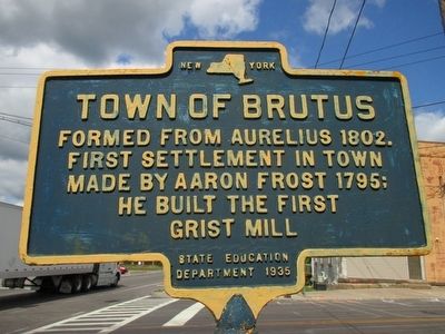
Town of Brutus
Photographed by Anton Schwarzmueller, August 28, 2015
1. Town of Brutus Marker
Formed from Aurelius 1802.
First settlement in town
made by Aaron Frost in 1795;
he built the first
grist mill.
Erected 1935 by New York State Education Department.
Topics. This historical marker is listed in this topic list: Settlements & Settlers. A significant historical year for this entry is 1795.
Location. 43° 2.927′ N, 76° 33.811′ W. Marker is in Weedsport, New York, in Cayuga County. It is at the intersection of West Brutus Street and Erie Drive (New York State Route 31) on West Brutus Street. Google shows East Brutus Street; picture shows West Brutus Street. Touch for map. Marker is in this post office area: Weedsport NY 13166, United States of America. Touch for directions.

Regionally, this marker is in Upstate New York, specifically in Central New York, and in the Syracuse Metropolitan Area. It is also in the American Northeast and in the Mid-Atlantic. Globally, it is in North America, the Western Hemisphere, the Western World, and the Anglosphere. Historically, it finds itself in what was once the Haudenosaunee (Iroquois) Confederacy, New Netherland, and one of the original
this page online
Other nearby markers. At least 8 other markers are within walking distance of this marker: Weed's Basin (within shouting distance of this marker); Tug Boat Marion (about 700 feet away, measured in a direct line); First Baptist Church of Weedsport (about 700 feet away); Firehouse (approx. 0.2 miles away); God's Acre (approx. 0.4 miles away); Cayuga County Veterans Memorial (approx. ¾ mile away); The Erie Canal (approx. ¾ mile away); a different marker also named The Erie Canal (approx. ¾ mile away). Touch for a list and map of all markers in Weedsport.
Photographed by Anton Schwarzmueller, August 28, 2015
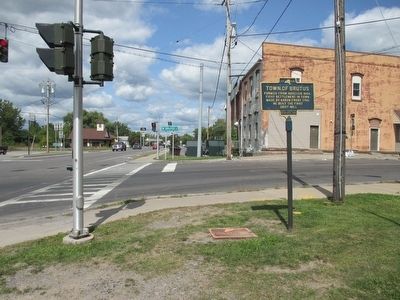
2. Eastbound on NY 31
Compass north.
Photographed by Anton Schwarzmueller, August 28, 2015
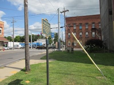
3. Eastward
Photographed by Anton Schwarzmueller, August 28, 2015
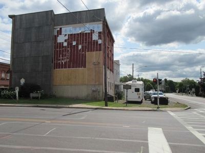
4. Westbound on NY 31 at Right
Compass south.
Credits. This page was last revised on June 16, 2016. It was originally submitted on August 30, 2015, by Anton Schwarzmueller of Wilson, New York. This page has been viewed 685 times since then and 37 times this year. Photos: 1, 2, 3, 4. submitted on August 30, 2015, by Anton Schwarzmueller of Wilson, New York.
