Baton Rouge in East Baton Rouge Parish, Louisiana — The American South (West South Central)
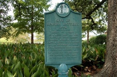
Site of Spanish Battery, 1779
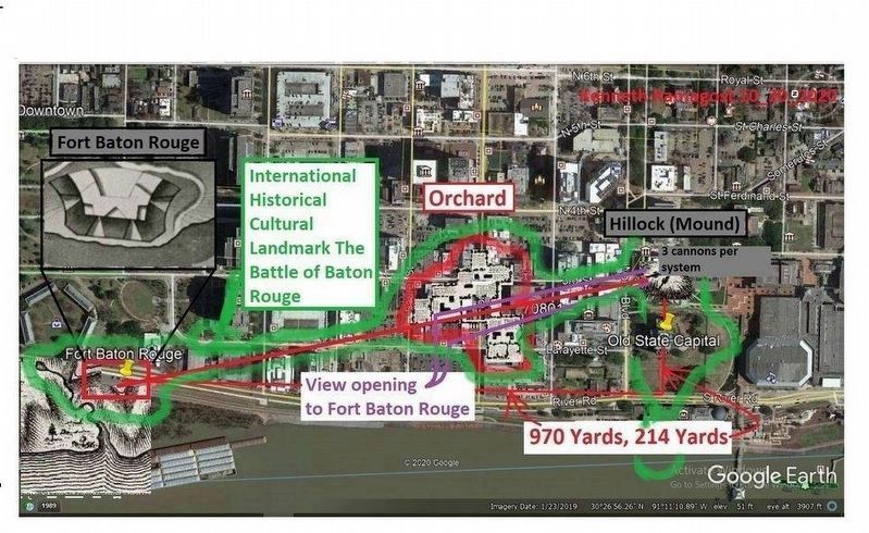
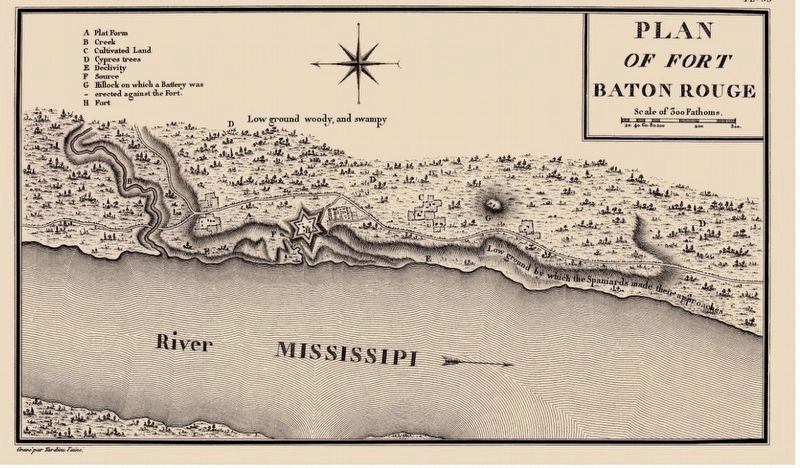
Behind an orchard on a mound near this site artillerymen under Spanish Governor Bernardo Galvez placed a battery of six cannon and on September 21, 1779, after a three-hour bombardment, forced the surrender of the British fort located about one thousand yards north on the bank of the river.
Erected by City Of Baton Rouge.
Topics. This historical marker is listed in this topic list: War, US Revolutionary. A significant historical date for this entry is September 21, 1779.
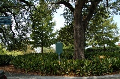
Location. 30° 26.84′ N, 91° 11.363′ W. Marker is in Baton Rouge, Louisiana, in East Baton Rouge Parish. Marker is at the intersection of Lafayette Street and North Boulevard, on the right when traveling south on Lafayette Street. Touch for map. Marker is in this post office area: Baton Rouge LA 70801, United States of America. Touch for directions.
Other nearby markers. At least 8 other markers are within walking distance of this marker. Caroline Durieux (here, next to this marker); Louisiana's Old State Capitol (a few steps from this marker); Slim Harpo (a few steps from this marker); Old State Capitol (within shouting distance of this marker); a different marker also named Old State Capitol (within shouting distance of this marker); The Founding Of Baton Rouge (within shouting distance of this marker); a different marker also named Old State Capitol (within shouting distance of this marker); Merci Train (within shouting distance of this marker). Touch for a list and map of all markers in Baton Rouge.
Also see . . . Bernardo de Gálvez. National Park Service website entry (Submitted on October 2, 2023, by Larry Gertner of New York, New York.)
Credits. This page was last revised on October 2, 2023. It was originally submitted on August 30, 2015. This page has been viewed 523 times since then and 23 times this year. Photos: 1, 2. submitted on August 30, 2015. 3, 4. submitted on August 18, 2021, by Kenneth Ramagost of Unknown, Louisiana. • Bernard Fisher was the editor who published this page.


