Falkirk, Scotland, United Kingdom — Northwestern Europe (the British Isles)
Forth & Clyde Ship Canal
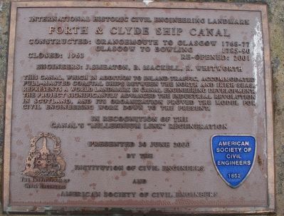
International Historic Civil Engineering Landmark
Constructed:
Grangemouth to Glasgow - 1768-77
Glasgow to Bowling 1785-90
Closed: 1963 - - - Re-opened: 2001
Engineers: J. Smeaton, R. Mackell, R. Whitworth
This canal, which in addition to inland traffic, accommodated full-masted coastal ships between the North and Irish Seas, represents a world landmark in canal engineering development. The project significantly advanced the industrial revolution in Scotland, and its organization proved the model for civil engineering work down to the present.
In Recognition of the canal's "millennium link" regeneration
by the
Instituion of Civil Engineers
and
American Society of Civil Engineers
Erected 2000.
Topics and series. This historical marker is listed in this topic list: Waterways & Vessels. In addition, it is included in the ASCE Civil Engineering Landmarks series list.
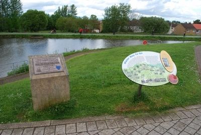
Location. 56° 0.08′ N, 3° 50.498′ W. Marker is in Falkirk, Scotland. Marker can be reached from Lime Road. Touch for map. Marker is in this post office area: Falkirk, Scotland FK1 4LS, United Kingdom. Touch for directions.
Other nearby markers. At least 8 other markers are within 5 kilometers of this marker, measured as the crow flies. Antonine Wall (approx. 0.8 kilometers away); The Roman Fort (approx. one kilometer away); The Northern Defences (approx. one kilometer away); a different marker also named The Antonine Wall (approx. 1.1 kilometers away); a different marker also named The Antonine Wall (approx. 1.2 kilometers away); Antonine Wall Rough Castle (approx. 1.7 kilometers away); Battle of Falkirk Muir (approx. 2 kilometers away); The Parish Church Graveyard (approx. 3.4 kilometers away). Touch for a list and map of all markers in Falkirk.
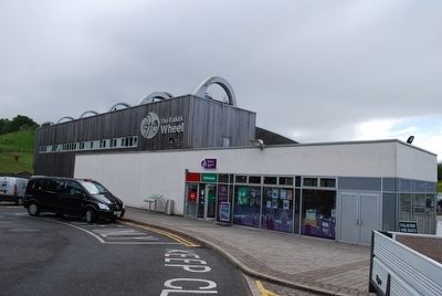
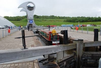
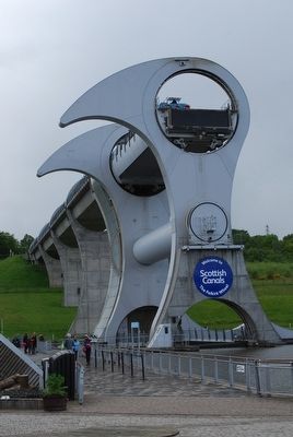
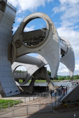
Additional keywords. Falkirk Wheel
Credits. This page was last revised on January 27, 2022. It was originally submitted on September 1, 2015, by Brandon Fletcher of Chattanooga, Tennessee. This page has been viewed 333 times since then and 11 times this year. Photos: 1, 2, 3, 4, 5, 6, 7, 8, 9. submitted on September 1, 2015, by Brandon Fletcher of Chattanooga, Tennessee. • Andrew Ruppenstein was the editor who published this page.
