Northampton in Fulton County, New York — The American Northeast (Mid-Atlantic)
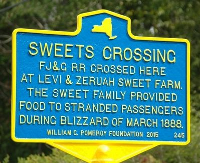
Sweets Crossing
At Levi & Zeruah Sweet Farm.
The Sweet Family Provided
Food to Stranded Passengers
During Blizzard of March 1888
Erected 2015 by William G. Pomeroy Foundation. (Marker Number 245.)
Topics and series. This historical marker is listed in these topic lists: Charity & Public Work • Disasters • Railroads & Streetcars. In addition, it is included in the William G. Pomeroy Foundation series list. A significant historical month for this entry is March 1888.
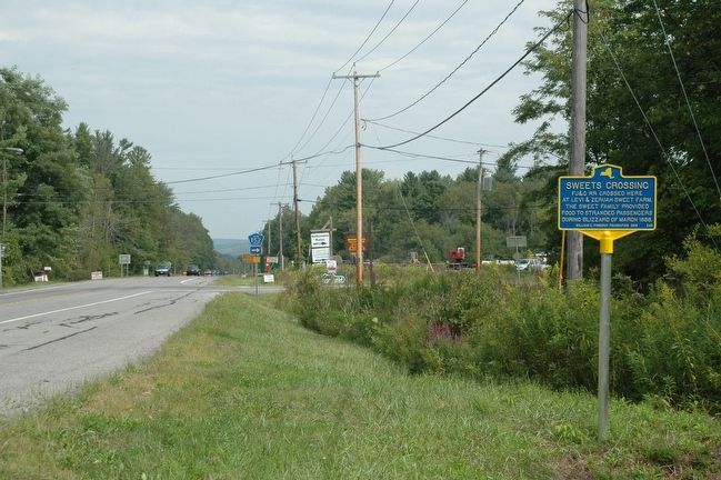
Location. 43° 11.254′ N, 74° 11.899′ W. Marker is in Northampton, New York, in Fulton County. Marker is on New York State Route 30 near County Route 152, on the right when traveling north. Touch for map. Marker is at or near this postal address: 1150 State Route 30, Mayfield NY 12117, United States of America. Touch for directions.
Other nearby markers. At least 8 other markers are within 3 miles of this marker, measured as the crow flies. King Cemetery (approx. 1.4 miles away); Osborn’s Bridge (approx. 1˝ miles away); Sacandaga Park (approx. 1.8 miles away); Adirondack Inn (approx. 2 miles away); a different marker also named Sacandaga Park (approx. 2.1 miles away); Sport Island (approx. 2.2 miles away); Cranberry Creek (approx. 2.3 miles away); a different marker also named Cranberry Creek (approx. 2˝ miles away).
Regarding Sweets Crossing. The marker is located just south of the intersection with county route 152. Long time local residents will say that the site of the actual FJ&G crossing is about three houses to the south of the marker.
Also see . . . Northville Northampton Historical Society Newsletter - July 2015. Sweets Crossing Article with photos of the Sweets Crossing Marker dedication. (Submitted on September 3, 2016, by Howard C. Ohlhous of Duanesburg, New York.)
Additional keywords. Blizzard of 1888
Credits. This page was last revised on September 20, 2016. It was originally submitted on September 2, 2015, by Howard C. Ohlhous of Duanesburg, New York. This page has been viewed 407 times since then and 12 times this year. Photos: 1, 2. submitted on September 2, 2015, by Howard C. Ohlhous of Duanesburg, New York. • Bill Pfingsten was the editor who published this page.

