Moose in Teton County, Wyoming — The American West (Mountains)
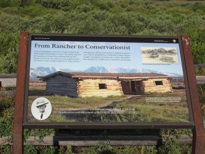
From Rancher to Conservationist
Grand Teton National Park
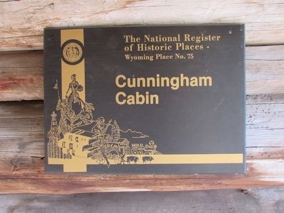
J. Pierce Cunningham settled here in Jackson Hole in the 1880s despite the hardships of winter. He initially opposed the expansion of Grand Teton National Park but later became an advocate. He teamed up with neighbor Josiah “Si” Ferrin to write a petition signed by 97 valley ranchers who agreed to sell their land to form a “national recreation area.” John D. Rockefeller, Jr.’s Snake River Land Company bought Cunningham’s land and other ranches. Rockefeller later donated over 33,000 acres to expand the national park.
“The destiny of Jackson’s Hole is as a playground, typical of the West, for the education and enjoyment of the Nation, as a whole.” J. Pierce Cunningham
Erected by National Park Service.
Topics. This historical marker is listed in this topic list: Settlements & Settlers.
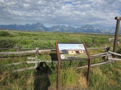
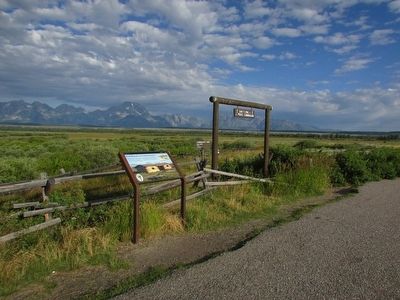
Location. 43° 46.658′ N, 110° 33.46′ W. Marker is in Moose, Wyoming, in Teton County. Marker can be reached from U.S. 26, on the right when traveling south. Marker is located in Grand Teton National Park. Touch for map. Marker is in this post office area: Moose WY 83012, United States of America. Touch for directions.
Other nearby markers. At least 8 other markers are within 6 miles of this marker, measured as the crow flies. Cattle King of Wyoming (approx. 2.7 miles away); Tetons Inspiring Creativity (approx. 3.7 miles away); Capturing Nature in a Box (approx. 3.7 miles away); Meandering Snake (approx. 3.7 miles away); Potholes (approx. 4.1 miles away); Mount Moran (approx. 4.6 miles away); Valley View (approx. 4.8 miles away); Cattleman's Bridge (approx. 5.4 miles away). Touch for a list and map of all markers in Moose.
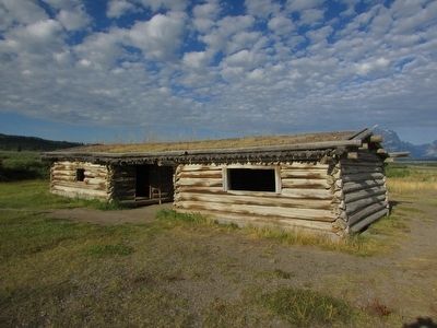
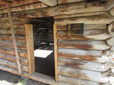
More about this marker. The background of the marker contains a photograph of the Cunningham Cabin. It includes the caption “Cunningham called this cabin home from 1888 to 1895. After he and his wife, Margaret, completed their ranch house, they used this building as a smithy and barn.” A drawing at the upper right of the marker depicts the Cunningham homestead in the late 1800s.
Credits. This page was last revised on June 16, 2016. It was originally submitted on September 2, 2015, by Bill Coughlin of Woodland Park, New Jersey. This page has been viewed 335 times since then and 20 times this year. Photos: 1, 2, 3, 4, 5, 6. submitted on September 2, 2015, by Bill Coughlin of Woodland Park, New Jersey.
