Shell in Big Horn County, Wyoming — The American West (Mountains)
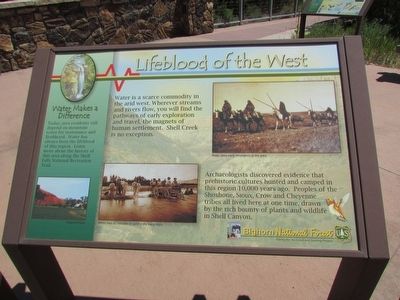
Lifeblood of the West
Water is a scarce commodity in the arid west. Wherever streams and rivers flow, you will find the pathways of early exploration and travel, the magnets of human settlement. Shell Creek is no exception.
Archaeologists discovered evidence that prehistoric cultures hunted and camped in this region 10,000 years ago. Peoples of the Shoshone, Sioux, Crow and Cheyenne tribes all lived here at one time, drawn by the rich bounty of plants and wildlife in Shell Canyon.
Water Makes a Difference
Erected by Bighorn National Forest.
Topics. This historical marker is listed in these topic lists: Native Americans • Settlements & Settlers.
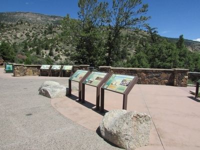
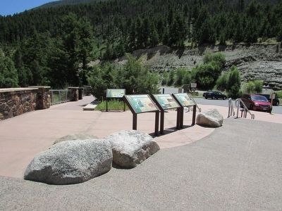
Location. 44° 35.203′ N, 107° 36.898′ W. Marker is in Shell, Wyoming, in Big Horn County. Marker can be reached from U.S. 14, on the right when traveling west. Marker is located in the Shell Falls Interpretive Site in Bighorn National Forest. Touch for map. Marker is in this post office area: Shell WY 82441, United States of America. Touch for directions.
Other nearby markers. At least 8 other markers are within walking distance of this marker. Carving a Course (here, next to this marker); Oasis in the Desert (here, next to this marker); Hummingbirds (here, next to this marker); A 4,000 Mile Journey (a few steps from this marker); Forming Waterfalls (a few steps from this marker); Shaping a Canyon (a few steps from this marker); Moving Mountains (within shouting distance of this marker); Wringing Out a Livelihood (about 400 feet away, measured in a direct line). Touch for a list and map of all markers in Shell.
More about this marker. A photograph of an irrigated farm appears at the lower left of the marker. Next to this is a picture of early settlers with a wagon in the water. It has a caption of “Water was as valuable as gold in the early days.” At the top right of the marker is a picture of Indians on horseback, with a caption of “Water drew early inhabitants to the area.”
Credits. This page was last revised on June 16, 2016. It was originally submitted on September 4, 2015, by Bill Coughlin of Woodland Park, New Jersey. This page has been viewed 350 times since then and 8 times this year. Photos: 1, 2, 3. submitted on September 4, 2015, by Bill Coughlin of Woodland Park, New Jersey.


