Harding in Morris County, New Jersey — The American Northeast (Mid-Atlantic)
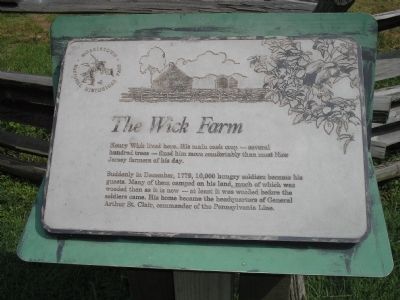
The Wick Farm
Morristown National Historical Park
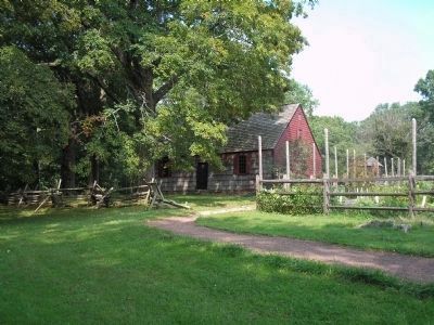
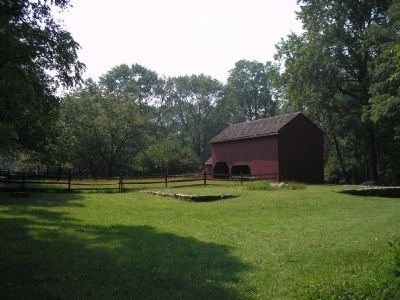
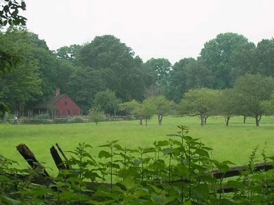
Henry Wick lived here. His main cash crop – several hundred trees – fixed him more comfortably than most New Jersey farmers of his day.
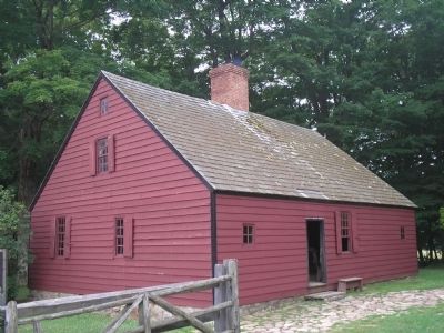
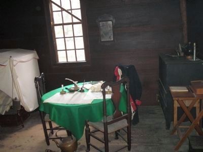
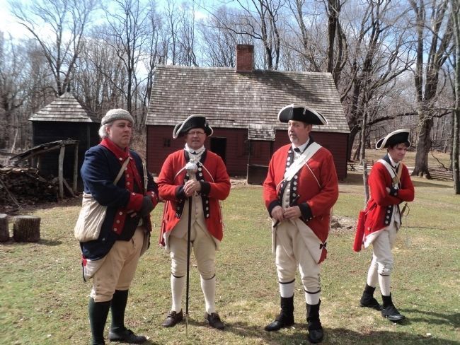
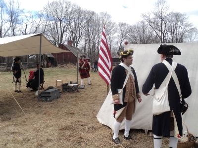
Suddenly in December, 1779, 10,000 hungry soldiers became his guests. Many of them camped on his land, much of which was wooded then as it is now – at least it was wooded before the soldiers came. His home became the headquarters of General Arthur St. Clair, commander of the Pennsylvania Line.
Erected by Morristown National Historical Park.
Topics. This historical marker is listed in these topic lists: Military • Notable Buildings • Notable Places • War, US Revolutionary. A significant historical month for this entry is December 1779.
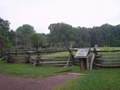
Location. 40° 45.819′ N, 74° 32.546′ W. Marker is in Harding, New Jersey, in Morris County. Marker can be reached from Jockey Hollow Road, on the right when traveling south. Marker is in Morristown National Historical Park, behind the Jockey Hollow Visitor Center. Touch for map. Marker is in this post office area: Morristown NJ 07960, United States of America. Touch for directions.
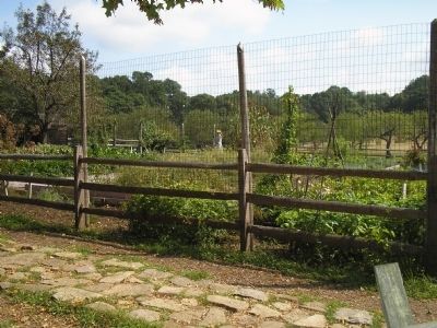
Other nearby markers. At least 8 other markers are within walking distance of this marker. A different marker also named The Wick Farm (here, next to this marker); Wick Farm Garden (within shouting distance of this marker); Roads (about 300 feet away, measured in a direct line); The Aqueduct Trail (about 400 feet away); Captain Adam Bettin (about 500 feet away); Hand’s Brigade (about 600 feet away); The Connecticut Line (approx. ¼ mile away); The Second Maryland Brigade (approx. 0.4 miles away). Touch for a list and map of all markers in Harding.
More about this marker. The top of the marker features a picture of the Wick House.
Also see . . . Morristown National Historical Park. National Park Service. (Submitted on July 4, 2008, by Bill Coughlin of Woodland Park, New Jersey.)
Credits. This page was last revised on June 16, 2016. It was originally submitted on July 4, 2008, by Bill Coughlin of Woodland Park, New Jersey. This page has been viewed 1,654 times since then and 37 times this year. Photos: 1. submitted on July 4, 2008, by Bill Coughlin of Woodland Park, New Jersey. 2. submitted on July 5, 2008, by Bill Coughlin of Woodland Park, New Jersey. 3. submitted on July 4, 2008, by Bill Coughlin of Woodland Park, New Jersey. 4. submitted on July 5, 2008, by Bill Coughlin of Woodland Park, New Jersey. 5, 6. submitted on July 4, 2008, by Bill Coughlin of Woodland Park, New Jersey. 7. submitted on April 5, 2014, by Bill Coughlin of Woodland Park, New Jersey. 8. submitted on July 4, 2008, by Bill Coughlin of Woodland Park, New Jersey. 9. submitted on July 5, 2008, by Bill Coughlin of Woodland Park, New Jersey. 10. submitted on April 5, 2014, by Bill Coughlin of Woodland Park, New Jersey.
