
War Memorial
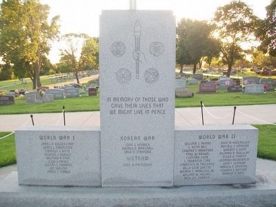
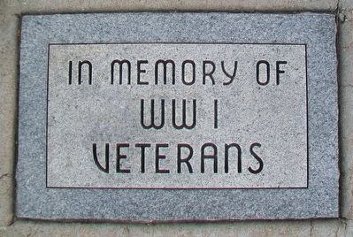
World War I
James H. Biggerstaff • James L. Carpenter • Earnest J. Ditto • Newton J. Dudley • Wilford A. Fair • Jesse J. Hayes • Joseph S. Konantz • Joe Shelton • James S. Trabue
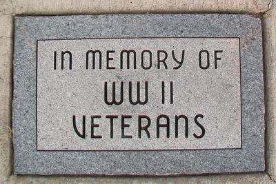
World War II
William S. Adams • C. Keith Bell • Edward P. Bradford • Paul W. Brown • Clifford Cline • C. Thornton Cope • Lawrence M. Faulkner • Billy Gene Greene • Wilmer C. Hamilton, Jr. • John M. Hutchinson • Jack Lee Kabrick • Russell F. Kinnison • Warren E. Kuhn • Richard A. Mulligan • Alden B. Parker • Leonard Rosanbalm • John F. Schnorf • Harold P. Spinning • Edward E. Watson • Marvin A. Wolf
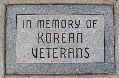
Korean War
John S. Hedrick • Ronald D. Marshall • Jack N. Stafford
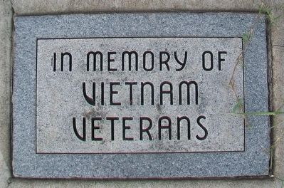
Vietnam
Earl A. Patterson
——————————
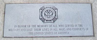
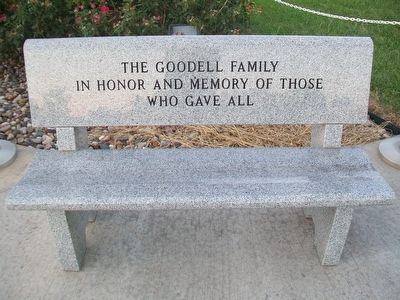
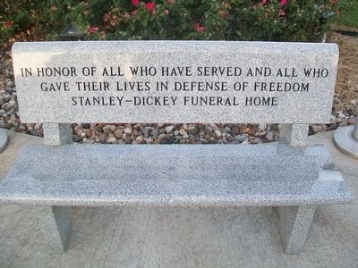
In honor of the memory of all who served
in the military and lost their lives
in all wars and conflicts of the
United States of American
——————————
In memory of
Veterans
WWI • WWII • Korea • Vietnam
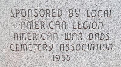
Erected 1955 by American Legion, American
this page online
Topics. This memorial is listed in these topic lists: War, Korean • War, Vietnam • War, World I • War, World II.
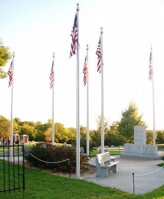
Location. 38° 48.275′ N, 94° 15.768′ W. Memorial is in Pleasant Hill, Missouri, in Cass County. It is at the intersection of Missouri Route 7 and Matthes Lane on Missouri Route 7. Touch for map. Memorial is at or near this postal address: Pleasant Hill Cemetery, Pleasant Hill MO 64080, United States of America. Touch for directions.

Regionally, this memorial is in Greater Kansas City. It is also in the American Midwest, in the Lewis & Clark Corridor, in the Corn Belt, and on the Santa Fe Trail Corridor. Globally, it is in North America, the Western Hemisphere, the Western World, and the Anglosphere. Historically, it finds itself in what was once the territory of the Mississippian Culture, the Louisiana Purchase, and the Antebellum South.
Other nearby markers. At least 8 other markers are within 2 miles of this marker, measured as the crow flies: Philip Short Baldwin (approx. 0.2 miles
Credits. This page was last revised on June 16, 2016. It was originally submitted on September 7, 2015, by William Fischer, Jr. of Reynoldsburg, Ohio. This page has been viewed 482 times since then and 13 times this year. Photos: 1, 2, 3, 4, 5, 6, 7, 8, 9, 10, 11, 12. submitted on September 7, 2015, by William Fischer, Jr. of Reynoldsburg, Ohio.
