Albuquerque West in Bernalillo County, New Mexico — The American Mountains (Southwest)
Rio Puerco Bridge
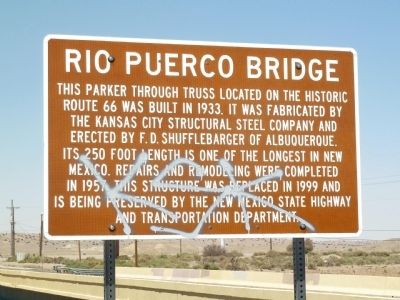
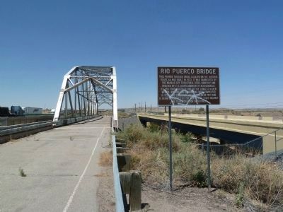
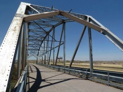
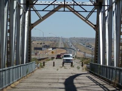
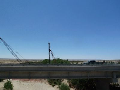
This Parker through truss located on the historic Route 66 was built in 1933. It was fabricated by the Kansas City Structural Steel Company and erected by F.D. Shufflebarger of Albuquerque. Its 250 foot long length is one of the longest in New Mexico. Repairs and remodeling were completed in 1957. This structure was replaced in 1999 and is being preserved by the New Mexico State Highway and Transportation Department.
Erected by New Mexico State Highway and Transportation Department.
Topics and series. This historical marker is listed in this topic list: Bridges & Viaducts. In addition, it is included in the U.S. Route 66 series list. A significant historical year for this entry is 1933.
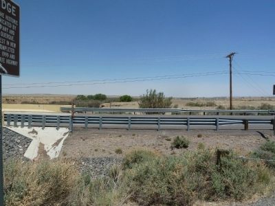
Location. 35° 2.019′ N, 106° 56.527′ W. Marker is in Albuquerque, New Mexico, in Bernalillo County. It is in Albuquerque West. Marker is on NW Frontage Road (Interstate 40 at milepost 140), 0.2 miles east of Rio Puerco, on the right when traveling west. West on I40 from Albuquerque take off-ramp 140. Drive approximately 3/8 mile west on Northwest frontage road. Touch for map. Marker is in this post office area: Albuquerque NM 87121, United States of America. Touch for directions.
More about this marker. The bridge area is an informal rest stop. There are fuel and facilities at the off-ramp. Please be careful if you walk on the old bridge, as there are big holes and uneven parts to walk on.
Also see . . . Rio Puerco Bridge. Wikipedia entry:
Added to the National Register of Historic Places on July 15, 1997 (Link to #97000735). (Submitted on May 13, 2022, by Jason Voigt of Glen Carbon, Illinois.)
Additional keywords. Isleta Pueblo
Credits. This page was last revised on June 2, 2023. It was originally submitted on June 28, 2011, by Chris English of Phoenix, Arizona. This page has been viewed 1,165 times since then and 68 times this year. Last updated on September 9, 2015, by Steve Masler of Memphis, Tennessee. Photos: 1, 2, 3, 4, 5, 6. submitted on June 28, 2011, by Chris English of Phoenix, Arizona. • Syd Whittle was the editor who published this page.
