Fort Hunter in Montgomery County, New York — The American Northeast (Mid-Atlantic)
Original Erie Canal
Schoharie Crossing
— State Historic Site —
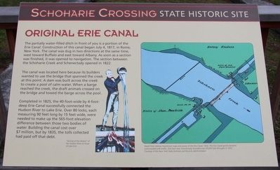
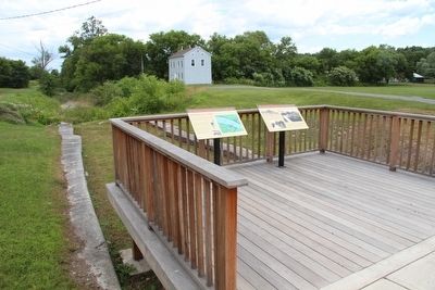
The partially water-filled ditch in front of you is a portion of the Erie Canal. Construction of this canal began July 4, 1817, in Rome, New York. The canal was dug in two directions at the same time, west toward Buffalo and east toward Albany. As soon as a section was finished, it was opened to navigation. The section between the Schoharie Creek and Schenectady opened in 1822.
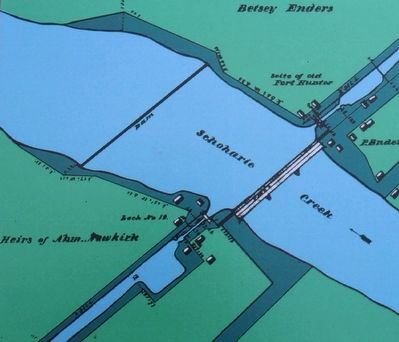
The canal was located here because its builders wanted to use the bridge that spanned the creek at this point. A dam was built across the creek to create a pool of calm water. When a barge reached the creek, the draft animals crossed on the bridge and towed the barge across the pool.
Completed in 1825, the 40-foot-wide by 4-foot-deep Erie Canal successfully connected the Hudson River to Lake Erie. Over 80 locks, each measuring 90 feet long by 15 feet wide, were needed to make up the 565-foot elevation difference between those two bodies of water. Building the canal cost over $7 million, but by 1835, the tolls collected had paid off that debt.
Topics. This historical marker is listed in these topic lists: Industry & Commerce • Waterways & Vessels. A significant historical date for this entry is July 4, 1817.
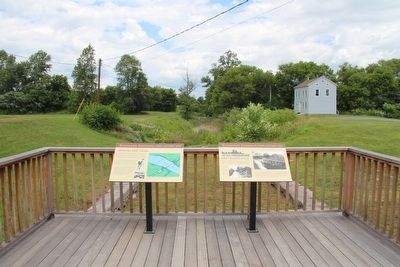
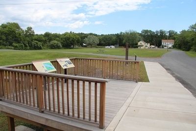
Location. 42° 56.361′ N, 74° 16.909′ W. Marker is in Fort Hunter, New York, in Montgomery County . Marker is on Schoharie Street south of Main Street, on the left when traveling south. This marker is on the site of the grounds of the Schoharie Crossing, State Historic Site, a short distance south of the State Historic Site Visitor Center, on a platform located on top of the East Guard Lock. Touch for map. Marker is in this post office area: Fort Hunter NY 12069, United States of America. Touch for directions.
Other nearby markers. At least 8 other markers are within walking distance of this marker. East Guard Lock (here, next to this marker); Site of Last Mohawk Indian Village (here, next to this marker); Site of Old Fort Hunter (here, next to this marker); Site of Queen Anne Chapel (a few steps from this marker); A Mohawk House Unearthed (a few steps from this marker); Site of First Bridge (a few steps from this marker); Building Block of the Erie Canal (a few steps from this marker); The Fort by the Village (within shouting distance of this marker). Touch for a list and map of all markers in Fort Hunter.
Credits. This page was last revised on June 16, 2016. It was originally submitted on September 10, 2015, by Dale K. Benington of Toledo, Ohio. This page has been viewed 337 times since then and 17 times this year. Photos: 1, 2, 3, 4, 5, 6. submitted on September 10, 2015, by Dale K. Benington of Toledo, Ohio.
