Kit Carson in Cheyenne County, Colorado — The American Mountains (Southwest)
Kit Carson
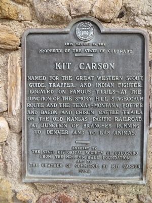
Photographed by Bill Kirchner, September 22, 2014
1. Kit Carson Marker
Erected 1954 by The State Historical Society of Colorado from the Mrs. J.N. Hall Foundation and by the Chamber of Commerce of Kit Carson. (Marker Number 150.)
Topics and series. This historical marker is listed in these topic lists: Railroads & Streetcars • Settlements & Settlers. In addition, it is included in the History Colorado series list.
Location. 38° 45.87′ N, 102° 47.627′ W. Marker is in Kit Carson, Colorado, in Cheyenne County. It is on U.S. 287 at milepost 130, on the right when traveling west. Touch for map. Marker is in this post office area: Kit Carson CO 80825, United States of America. Touch for directions.

Regionally, this marker is in the Eastern Plains. It is also in the American Mountain West, on the Great Plains,
this page online
Other nearby markers. At least 2 other markers are within 12 miles of this marker, measured as the crow flies: The Kit Carson Railroad Depot (a few steps from this marker); Old Cattle Trail (approx. 11.6 miles away).
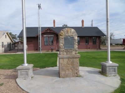
Photographed by Bill Kirchner, September 22, 2014
2. Kit Carson Marker
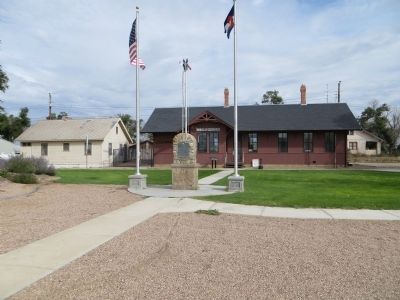
Photographed by Bill Kirchner, September 22, 2014
3. Kit Carson Marker
Credits. This page was last revised on June 16, 2016. It was originally submitted on October 11, 2014, by Bill Kirchner of Tucson, Arizona. This page has been viewed 1,404 times since then and 65 times this year. Last updated on September 10, 2015, by Steve Masler of Memphis, Tennessee. Photos: 1, 2, 3. submitted on October 11, 2014, by Bill Kirchner of Tucson, Arizona. • Syd Whittle was the editor who published this page.
