Buxton in Dare County, North Carolina — The American South (South Atlantic)
Life at the Light
Photographed by Patrick G. Jordan, June 12, 2010
1. Life at the Light Marker
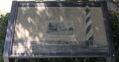
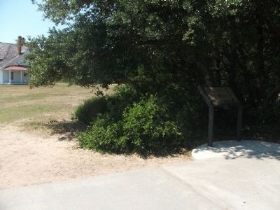
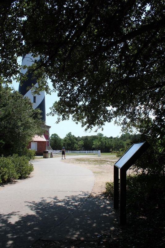
Two residences served the keepers and their families at the Cape Hatteras Light Station. The larger building, the Double Keeper's Quarters (1854), was built for the staff of the first Lighthouse and today serves as Cape Hatteras National Seashore's Hatteras Island Visitor Center. The smaller building is the Principal Keeper Quarters (1871), constructed from materials left over from the present day lighthouse. It accommodated the head lighthouse keeper and his family.
Topics and series. This historical
this page online
Location. 35° 15.065′ N, 75° 31.736′ W. Marker is in Buxton, North Carolina, in Dare County. It can be reached from State Highway 12. Marker is to the right side of the paved walkway leading to the Cape Hatteras Lighthouse. Touch for map. Marker is at or near this postal address: 46375 Lighthouse Rd, Buxton NC 27920, United States of America. Touch for directions.

Regionally, this marker is in the Coastal Plain and on the Outer Banks. It is also in the American South, specifically in the Upper South, in the Tidewater, and on the Eastern Seaboard. Globally, it is in the North Atlantic Region, North America, the Western Hemisphere, the Western World, and the Anglosphere. Historically, it finds itself in what was once the territory of the Mississippian Culture, one of the original Thirteen Colonies, one of the Confederate States of America, and the Antebellum South.
Other nearby markers. At least 8 other markers are within 2 miles of this marker, measured as
Photographed by Patrick G. Jordan, June 12, 2010
2. Life at the Light Marker
Another marker is no longer nearby. "Paukenschlag" (was approx. 0.3 miles away but has been replaced with another marker now near it).
Also see . . . Cape Hatteras Light Station National Historic Landmark Study. (Submitted on June 16, 2010, by Patrick G. Jordan of Graham, North Carolina.)
Photographed by Tom Bosse, September 19, 2021
3. Life at the Light Marker
Photographed by Patrick G. Jordan, June 12, 2010
4. Cape Hatteras Light
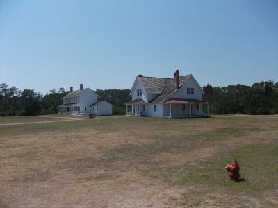
Photographed by Patrick G. Jordan, June 12, 2010
5. Keeper's Quarters
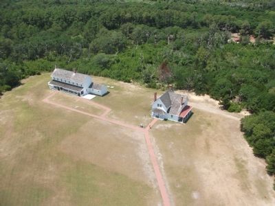
Photographed by Patrick G. Jordan, June 12, 2010
6. View of the Keepers Quarters From the Top of the Lighthouse
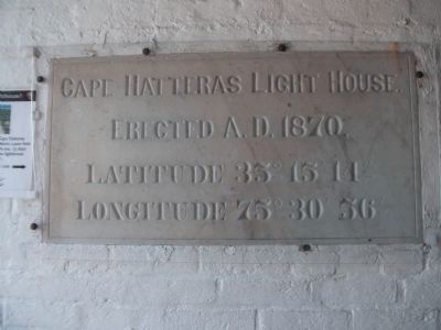
Photographed by Patrick G. Jordan, June 12, 2010
7. Cape Hatteras Light House Erected A.D. 1870
This marker is located on the interior of the lighthouse and shows the original coordinates of the light.
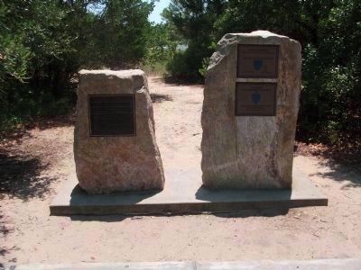
Photographed by Patrick G. Jordan, June 12, 2010
8. National Historic Landmark
Left Marker:
Cape Hatteras Light Station has been designated a National Historic Landmark
This site possesses national significance in commemorating the history of United States of America, 1998, National Park Service, United States Department of the Interior
Right Marker:
National Historic Civil Engineering Landmark 2000
Completed 1870 Designated 1999
Outstanding Civil Engineering Achievement 2000
The Cape Hatteras Light Station Relocation Project
Designated: April 29, 2000
Cape Hatteras Light Station has been designated a National Historic Landmark
This site possesses national significance in commemorating the history of United States of America, 1998, National Park Service, United States Department of the Interior
Right Marker:
National Historic Civil Engineering Landmark 2000
Completed 1870 Designated 1999
Outstanding Civil Engineering Achievement 2000
The Cape Hatteras Light Station Relocation Project
Designated: April 29, 2000
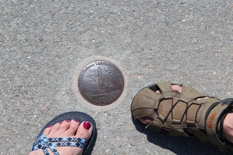
Photographed by Tom Bosse, September 19, 2021
9. Cape Hatteras Lighthouse Geodetic Survey
Credits. This page was last revised on February 1, 2024. It was originally submitted on June 16, 2010, by Patrick G. Jordan of Graham, North Carolina. This page has been viewed 1,158 times since then and 26 times this year. Last updated on September 11, 2015, by Steve Masler of Memphis, Tennessee. Photos: 1, 2. submitted on June 16, 2010, by Patrick G. Jordan of Graham, North Carolina. 3. submitted on January 24, 2022, by Tom Bosse of Jefferson City, Tennessee. 4, 5, 6, 7, 8. submitted on June 16, 2010, by Patrick G. Jordan of Graham, North Carolina. 9. submitted on January 24, 2022, by Tom Bosse of Jefferson City, Tennessee. • Bernard Fisher was the editor who published this page.
