Near Fredericksburg, Virginia — The American South (Mid-Atlantic)
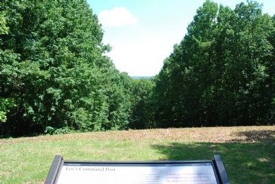
Lee's Command Post
The Battle of Fredericksburg
— Fredericksburg and Spotsylvania National Military Park —
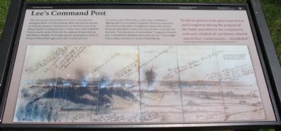
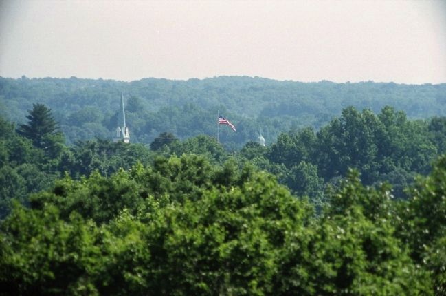
This hill served as General Robert E. Lee's command post during the Battle of Fredericksburg. Before the fighting started, Confederate pioneers cut down trees on the front slope of the hill, giving the Confederate leader a better view of the battlefield than is possible today. To his left, he could see Fredericksburg and Marye's Heights. To his right was the broad plain in front of Prospect Hill and the right end of the Confederate line.
Lee spent much of December 13, 1862, here, watching the fighting with General James Longstreet. When Lee expressed concern about the safety of Longstreet's men in the Sunken Road, his subordinate assured him that his men could repel the attackers, "Give me plenty of ammunition," Longstreet boasted, and "I will kill them all before they reach my line." Not a single Union soldier reached the Sunken Road that day.
It did me good to look upon General Lee and Longstreet during the progress of the battle and observe the complacent, cool and satisfied air yet intense interest which their countenances...manifested."
Sergeant William B. Pettit, Fluvanna Artillery, Confederate staff officer
Erected by National Park Service, U.S. Department of the Interior.
Topics. This historical marker is listed in this topic list: War, US Civil. A significant historical month for this entry is December 1877.
Location. 38° 17.097′ N, 77° 28.57′ W. Marker is near Fredericksburg, Virginia. Marker can be reached from Lee Drive, on the right when traveling south. Marker is at the top of Lee's Hill, accessible from a parking pullout on Lee Drive, which is stop three of the driving tour of Fredericksburg Battlefield. Touch for map. Marker is in this post office area: Fredericksburg VA 22401, United States of America. Touch for directions.
Other nearby markers. At least 8 other markers are within walking distance of this marker. Near Disaster (here, next to this marker); The Battle of Fredericksburg from Lee's Hill, December, 1862 (here, next to this marker); The Pioneers (a few steps from this marker); The Second Battle of Fredericksburg (a few steps from this marker); Artillery on Lee's Hill (a few steps from this marker); Lee's Hill, the commander's lookout (a few steps from this marker); a different marker also named Lee’s Hill (a few steps from this marker); Lee's Headquarters (about 400 feet away, measured in a direct line). Touch for a list and map of all markers in Fredericksburg.
More about this marker. Artist Frank Vizetelly sketched this scene from Lee's Hill for the Illustrated London News which fills the bottom of the marker.
Photographed By Glenn Milton, circa March 2008
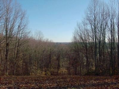
5. Fredericksburg Battlefield from Lee's Hill
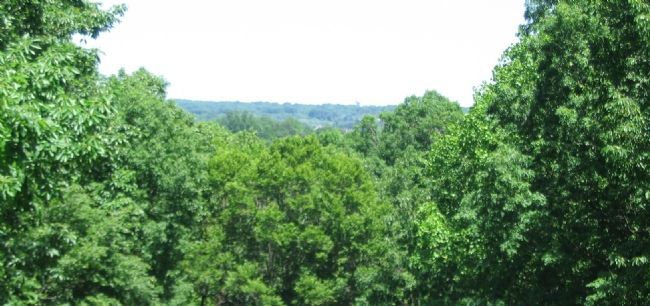
View of Stafford Heights and Fredericksburg from Lee's Hill. At center may be seen the steeple of Saint George's Church on Princess Ann Street. From here Lee could view the entire battlefield. Nearly 150 years of growth has narrowed that view dramatically. Photo taken in late winter.
Credits. This page was last revised on April 9, 2023. It was originally submitted on July 5, 2008, by Craig Swain of Leesburg, Virginia. This page has been viewed 1,692 times since then and 39 times this year. Last updated on April 8, 2023, by Bradley Owen of Morgantown, West Virginia. Photos: 1. submitted on July 5, 2008, by Craig Swain of Leesburg, Virginia. 2, 3. submitted on July 22, 2015, by Brandon Fletcher of Chattanooga, Tennessee. 4. submitted on July 5, 2008, by Craig Swain of Leesburg, Virginia. 5. submitted on May 22, 2010, by Glenn Milton of Kings Park, New York. 6. submitted on February 17, 2013, by David Graff of Halifax, Nova Scotia. 7. submitted on July 22, 2015, by Brandon Fletcher of Chattanooga, Tennessee. • Bernard Fisher was the editor who published this page.
