Medora in Billings County, North Dakota — The American Midwest (Upper Plains)
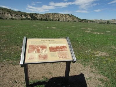
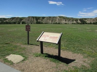
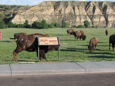
Beef Corral Bottom
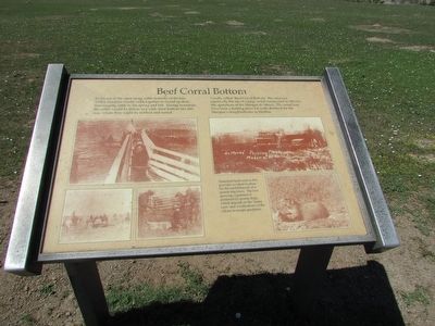
In the era of the open range cattle industry of the late 1800’s, ranchers would work together to round up their free-ranging cattle in the spring and fall. During roundups the cattle would be driven to a wide river bottom like this one, where they could be worked and sorted.
Locally called “Beef Corral Bottom,” this area was reportedly the site of a large corral constructed in 1880 for the operations of the Marquis de Mores. The corral may have been a holding place for cattle destined for the Marquis’s slaughterhouse in Medora.
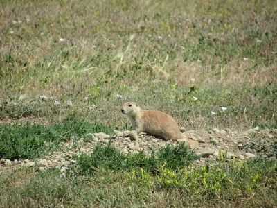
Disturbed land such as this provides an ideal location for the establishment of a prairie dog town. The low growing vegetation is preferred by prairie dogs, which depend on the “many eyes” and vocalizations of the colony to escape predators.
Erected by National Park Service, U.S. Department of the Interior.
Topics. This historical marker is listed in these topic lists: Animals • Industry & Commerce.
Location. 46° 58.709′ N, 103° 29.514′ W. Marker is in Medora, North Dakota, in Billings County. Marker is on E River Road, on the left when traveling north. Marker is located in the South Unit of Theodore Roosevelt National Park. Touch for map . Marker is in this post office area: Medora ND 58645, United States of America. Touch for directions.
Other nearby markers. At least 8 other markers are within 5 miles of this marker, measured as the crow flies. Building From Hard Times (approx. 0.9 miles away); North Dakota Badlands (approx. 2.1 miles away); The Shooting of Riley Luffsey (approx. 4.3 miles away); Historic Medora—Boom and Bust (approx. 4.4 miles away); On Track to Adventure (approx. 4.4 miles away); In honor of a President . . . and His Conservation Legacy (approx. 4.6 miles away); Stephen Tyng Mather (approx. 4.6 miles away); Coal Mining (approx. 4.6 miles away). Touch for a list and map of all markers in Medora.
Credits. This page was last revised on July 19, 2020. It was originally submitted on September 13, 2015, by Bill Coughlin of Woodland Park, New Jersey. This page has been viewed 472 times since then and 46 times this year. Photos: 1, 2, 3, 4. submitted on September 13, 2015, by Bill Coughlin of Woodland Park, New Jersey. 5. submitted on September 15, 2015, by Bill Coughlin of Woodland Park, New Jersey.
