Near Jamestown in Newport County, Rhode Island — The American Northeast (New England)
The West Passage to Narragansett Bay
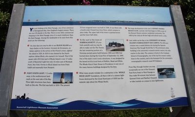
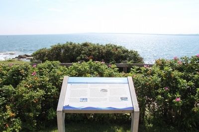
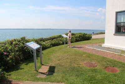
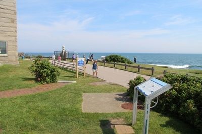
You are looking at the West Passage, one of two entrances to Narragansett Bay, New England's largest estuary. There are over 30 islands in the bay. There is very little commercial shipping in the West Passage since it is much shallower than the East Passage. Among the landmarks to be seen from this point are the following:
(1) On clear days you may be able to see Block Island as a hazy shadow on the horizon. Giovanni da Verrazano, an Italian explorer in the service of the French crown, sighted the island in 1524. In 1614 it was charted by the Dutch explorer Adrian Block, who named it for himself. This 9.734 square mile (25.2 km) part of Rhode Island is over 17 miles south of Beavertail light but only 14 miles wast of Montauk Point, New York. Ferries to Block Island run from Point Judith and seasonally from Newport.
(2) Point Judith Light, 7.2 miles away, is the southernmost landmark on the west side of the Bay. Three light structures have been built on this site. The first was built in 1810. The present 51-foot octagonal tower was built in 1856. It was fitted with a fourth-order Fresnel lens from Paris, which remains in place today. The upper half of the tower is painted brown and the lower half white.
(3) To the west is the town of Narragansett. If you look carefully and you may be able to make out The Towers, the last remaining portion of a Victorian-period casino built between 1883 and 1886 that burned down during the Great Fire of September 12, 1900. One of the state's most iconic structures was designed by the famed architectural form of McKim, Mead and White. The Rhode Island State House in Providence is just one of the many famous buildings designed by the firm.
(4) What many people mistake for a submarine is the Whale Rock Light foundation, all that is left of a caisson lighthouse destroyed by the Great Hurricane of 1938 (see the separate sign about the Whale Rock). (5) The large development to the west is Bonnet Shores Beach Club, a private club that began in 1928 as part of the Bonnet Shores summer residential community. The cliffs by the club are 60-feet high and extend nearly a mile.
(6) Just visible up the Bay is the University of Rhode Island's Narragansett Bay Campus. The 200-acre campus was a coastal defense site during the Spanish-American War through World War II. The prominent white building is the university's research atomic reactor, the only reactor in the state. The campus is home to the Graduate School of Oceanography, one of the top five oceanic institutions in the country, and is the homeport for the university's oceanographic
research vessel RV Endeavor.
Erected by Beavertail Lighthouse Museum Association.
Topics and series. This historical marker is listed in this topic list: Landmarks. In addition, it is included in the Lighthouses series list. A significant historical date for this entry is September 12, 1900.
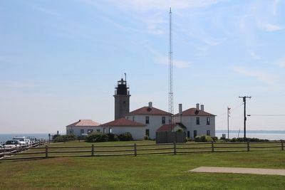
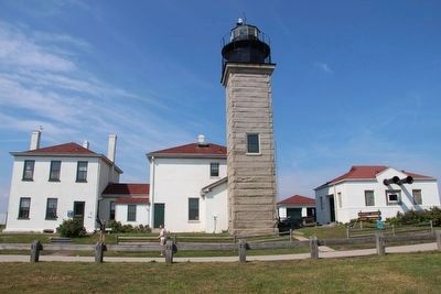
Location. 41° 26.965′ N, 71° 23.978′ W. Marker is near Jamestown, Rhode Island, in Newport County. Marker is on Beavertail Road south of Clarkes Village Road, on the left when traveling south. This marker is located in the Beavertail State Park, on the grounds of the Beavertail Lighthouse complex, just off of the southwest corner of the existing lighthouse building complex. Touch for map. Marker is in this post office area: Jamestown RI 02835, United States of America. Touch for directions.
Other nearby markers. At least 8 other markers are within walking distance of this marker. The Assistant Keeper's House (here, next to this marker); Whale Rock Lighthouse (here, next to this marker); History of the Beavertail Light Station (a few steps from this marker); The Granite Light Tower (a few steps from this marker); Fog Signal Building (a few steps from this marker); The Keeper's House (within shouting distance of this marker); Oil Storage Building (within shouting distance of this marker); The 1749 Foundation (within shouting distance of this marker). Touch for a list and map of all markers in Jamestown.
Credits. This page was last revised on June 16, 2016. It was originally submitted on September 14, 2015, by Dale K. Benington of Toledo, Ohio. This page has been viewed 567 times since then and 29 times this year. Photos: 1, 2, 3, 4, 5, 6, 7. submitted on September 14, 2015, by Dale K. Benington of Toledo, Ohio.
