Canton in St. Lawrence County, New York — The American Northeast (Mid-Atlantic)
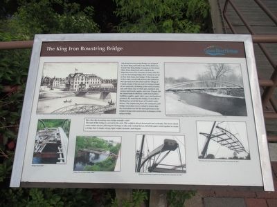
The King Iron Bowstring Bridge
Photographed by Anton Schwarzmueller, August 29, 2015
1. The King Iron Bowstring Bridge Marker
How does the bowstring truss bridge actually work? The load of this bridge is carried by the arch. The
this page online
L.H. Evert's "History of St. Lawrence County," 1878. The two bowstring bridges shown over the east channel were never built.
"The King Iron Bridge in Winter" Fred Ashley photo, ca 1975. Canton Town and Village Historian's Office
"A Rare View of a Rare Bridge, 2004"
"Welding and Painting Completed, the Bridge Returns, September 28, 2007."
The King Iron Bowstring Bridge Heading Home, September 28, 2007."
Topics. This historical marker is listed in these topic lists: Bridges & Viaducts • Industry & Commerce. A significant historical date for this entry is September 28, 2007.
Location. 44° 35.74′ N, 75° 10.472′ W. Marker is in Canton, New York, in St. Lawrence County. It can be reached from West Main Street (U.S. 11) 0.1 miles east of Governeur Street (U.S. 11). Marker is in Heritage Park on the island (Willow Island) that separates the east and west channels of the Grasse River. The bridge leads to Falls Island, also separating
Photographed by Anton Schwarzmueller, August 29, 2015
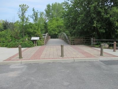
2. The King Iron Bowstring Bridge & Marker
Northward view from parking lot off US 11.

Regionally, this marker is in Upstate New York and in the Adirondacks & North Country. It is also in the American Northeast and in the Mid-Atlantic. Globally, it is in North America, the Western Hemisphere, the Western World, and the Anglosphere. Historically, it finds itself in what was once the Viceroyalty of New France, the Haudenosaunee (Iroquois) Confederacy, New Netherland, and one of the original Thirteen Colonies.
Other nearby markers. At least 8 other markers are within walking distance of this marker: Canton's Islands / Falls Island in 1898 (within shouting distance of this marker); The West Channel of the Grasse River (within shouting distance of this marker); The Grist Mill (within shouting distance of this marker); Water Street and the Third Dam (about 300 feet away, measured in a direct line); The Sash and Blind Factory (about 300 feet away); The East Channel of the Grasse River (about 300 feet away); Rushton Boat Shop (about 400 feet away); Logging and Lumbering (about 400 feet
Photographed by Anton Schwarzmueller, August 29, 2015
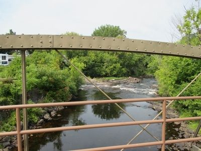
3. West View on Bridge
Photographed by Anton Schwarzmueller, August 29, 2015
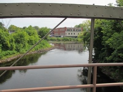
4. East View on Bridge
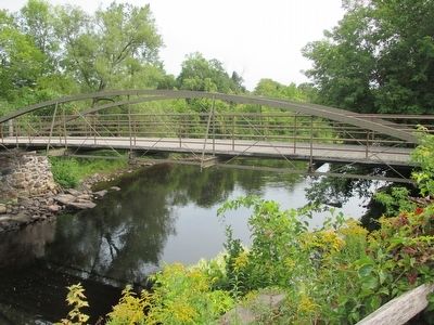
Photographed by Anton Schwarzmueller, August 29, 2015
5. The King Iron Bowstring Bridge
Credits. This page was last revised on June 16, 2016. It was originally submitted on September 15, 2015, by Anton Schwarzmueller of Wilson, New York. This page has been viewed 699 times since then and 34 times this year. Photos: 1, 2, 3, 4, 5. submitted on September 15, 2015, by Anton Schwarzmueller of Wilson, New York.
