Near Dumas in Moore County, Texas — The American South (West South Central)
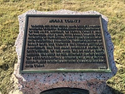
Moore County
Erected 1991 by Texas Historical Commission. (Marker Number 3455.)
Topics and series. This historical marker is listed in these topic lists: Agriculture • Industry & Commerce • Political Subdivisions • Settlements & Settlers. In addition, it is included in the Texas 1936 Centennial Markers and Monuments series list. A significant historical year for this entry is 1876.
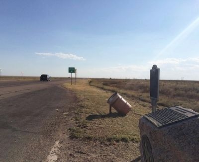
Location. 35° 45.659′ N, 101° 57.512′ W. Marker is near Dumas, Texas, in Moore County. Marker is on U.S. 87, 0.3 miles south of Road U, on the right when traveling south. Touch for map. Marker is in this post office area: Dumas TX 79029, United States of America. Touch for directions.
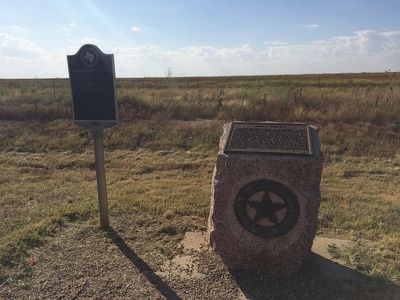
Other nearby markers. At least 8 other markers are within 13 miles of this marker, measured as the crow flies. Route of the Old Tascosa-Dodge City Trail (here, next to this marker); Site of Historic Drift Fence (approx. 5.6 miles away); Geological Riches of Moore County (approx. 5.6 miles away); Quanah Parker Trail (approx. 5.7 miles away); City of Dumas (approx. 6.8 miles away); Moore County Courthouse (approx. 6.8 miles away); Masterson (approx. 8.8 miles away); Route of Tascosa-Dodge City Trail (approx. 12.9 miles away). Touch for a list and map of all markers in Dumas.
Regarding Moore County. Marker originally erected in 1936 by the Texas Highway Department as part of the Texas 1936 Centennial. Replaced with the current marker in 1991 with a change in the last sentence.
Previously the last sentence read: "Economy is now based on petrochemicals, helium, oil, gas, cattle feeding, ranching, grains, soybeans, sugar beets and castor beans."
Credits. This page was last revised on June 16, 2016. It was originally submitted on September 20, 2015, by Mark Hilton of Montgomery, Alabama. This page has been viewed 1,514 times since then and 245 times this year. Photos: 1, 2, 3. submitted on September 20, 2015, by Mark Hilton of Montgomery, Alabama.


