Shoshoni in Fremont County, Wyoming — The American West (Mountains)
“Wild Sheep and Wild Fire”
Photographed by Bill Coughlin, August 2, 2015
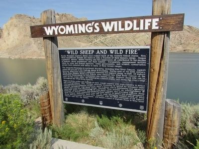
1. “Wild Sheep and Wild Fire” Marker
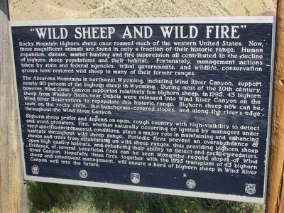
Rocky Mountain bighorn sheep once roamed much of the western United States. Now, these magnificent animals are found in only a fraction of their historic range. Human expansion, disease, market hunting and fire suppression all contributed to the decline of bighorn sheep populations and their habitat. Fortunately, management actions taken by state and federal agencies, tribal governments, and wildlife conservation groups have restored wild sheep to many of their former ranges.
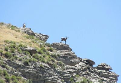
The Absaroka Mountains in northwest Wyoming, including Wind River Canyon, support nearly 80 percent of the bighorn sheep in Wyoming. During most of the 20th century, however, Wind River Canyon supported relatively few bighorn sheep. In 1995, 43 bighorn sheep from Whiskey Basin near Dubois were released into Wind River Canyon on the Wind River Reservation to repopulate this historic range. Bighorn sheep now can be seen on the rocky cliffs, the bunchgrass-covered slopes, and along the river’s edge throughout the Wind River Canyon.
Bighorn sheep prefer and depend on open, rough country with high-visibility to detect and avoid predators. Fire, whether naturally
this page online
Erected by State of Wyoming.
Topics. This historical marker is listed in this topic list: Animals.
Location. 43° 24.664′ N, 108° 10.472′ W. Marker is in Shoshoni, Wyoming, in Fremont County. It is on U.S. 20 0.4 miles north of Brannon Road, on the right when traveling south. Touch for map. Marker is in this post office area: Shoshoni WY 82649, United States of America. Touch for directions.

Regionally, this marker is in Wind River
Photographed by Bill Coughlin, August 2, 2015
2. “Wild Sheep and Wild Fire” Marker
Other nearby markers. At least 8 other markers are within 13 miles of this marker, measured as the crow flies: Wind River Canyon (here, next to this marker); Boysen Dam and Reservoir Today (a few steps from this marker); Geology of the Wind River Canyon (a few steps from this marker); Site of Original Boysen Dam (approx. 2.1 miles away); Boysen's Historic Dam (approx. 2.2 miles away); Wedding of the Waters (approx. 12½ miles away); a different marker also named Wedding of the Waters (approx. 12½ miles away); Shoshoni (approx. 12.7 miles away). Touch for a list and map of all markers in Shoshoni.
Photographed by Bill Coughlin, August 2, 2015
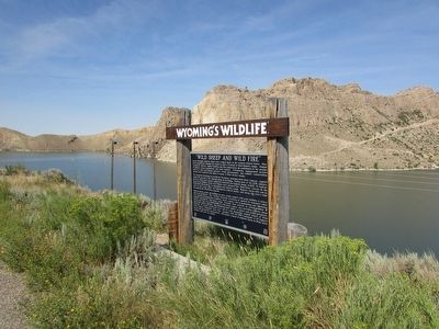
3. “Wild Sheep and Wild Fire” Marker
Photographed by Bill Coughlin, August 2, 2015
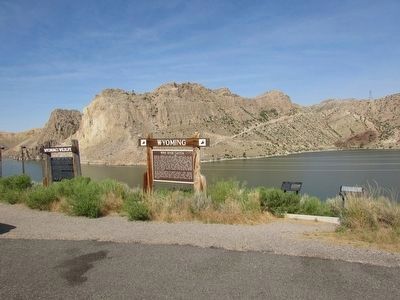
4. Markers in the Wind River Canyon
The “Wild Sheep and Wild Fire” marker is seen here on the left.
Photographed by Bill Coughlin, August 2, 2015
5. Bighorn Sheep on the Cliffs
Credits. This page was last revised on June 16, 2016. It was originally submitted on September 24, 2015, by Bill Coughlin of Woodland Park, New Jersey. This page has been viewed 530 times since then and 22 times this year. Photos: 1, 2, 3, 4, 5. submitted on September 24, 2015, by Bill Coughlin of Woodland Park, New Jersey.
