Scotland in St. Mary's County, Maryland — The American Northeast (Mid-Atlantic)
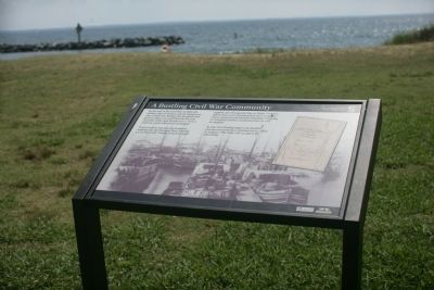
A Bustling Civil War Community
Point Lookout was also the Southern terminus for the Potomac River Flotilla, a U. S. Navy unit. Flotilla vessels brought supplies up Chesapeake Bay to Point Lookout, where they were transferred to river steamers. These steamers traveled the Potomac, bringing in wounded soldiers and prisoners, as well as supplies.
In time the flotilla outgrew its facilities and moved north to a secluded inlet, called St. Inigoes. The Navy still occupies the inlet today.
Erected by Maryland Park Service.
Topics. This historical marker is listed in these topic lists: Notable Places • War, US Civil. A significant historical year for this entry is 1865.
Location. 38° 2.385′ N, 76° 19.44′ W. Marker is in Scotland, Maryland, in St. Mary's County. Marker is on Point Lookout Road (Maryland Route 5). Touch for map. Marker is in this post office area: Scotland MD 20687, United States of America. Touch for directions.
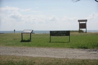
Other nearby markers. At least 8 other markers are within walking distance of this marker. Defense Strategies (here, next to this marker); Fort Lincoln (here, next to this marker); John Wilkes Booth (about 600 feet away, measured in a direct line); Point Lookout State Park (about 600 feet away); Point Lookout-Hammond Hospital (about 600 feet away); A Crucial Point (about 600 feet away); Let There Be Light (about 600 feet away); "Contraband" Camp (approx. 0.2 miles away). Touch for a list and map of all markers in Scotland.
Credits. This page was last revised on June 16, 2016. It was originally submitted on July 7, 2008, by Tom Fuchs of Greenbelt, Maryland. This page has been viewed 1,028 times since then and 22 times this year. Photos: 1, 2. submitted on July 7, 2008, by Tom Fuchs of Greenbelt, Maryland.

